You are not logged in. Would you like to login or register?

8/30/2018 5:41 pm  #1


Wia 278

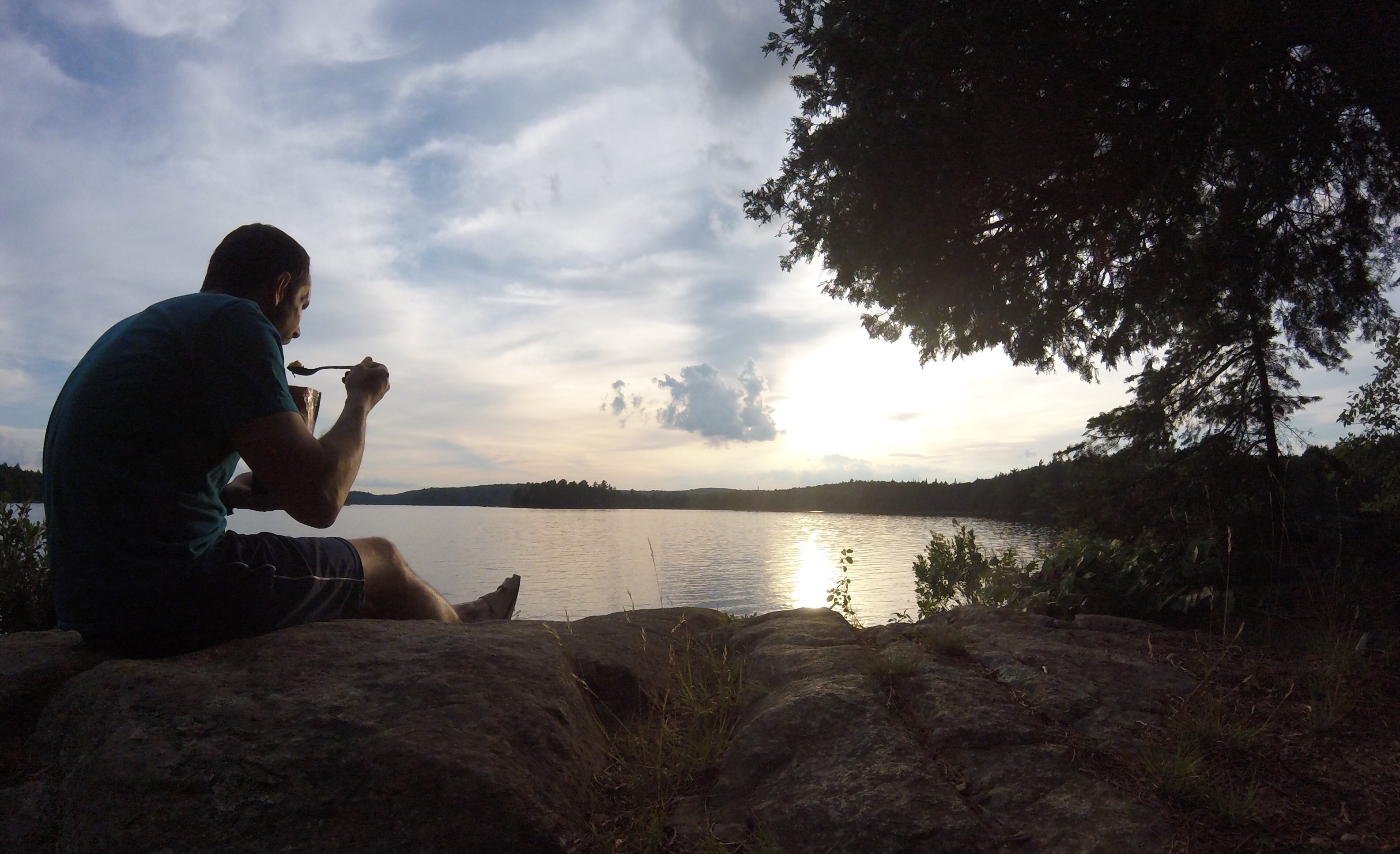
This thread seems to have gone quiet so I thought I’d put up a pic. Sorry for stealing your thunder Atventure


8/30/2018 6:07 pm  #2


Re: Wia 278

That is picture perfect! I guess you are looking east. No idea where?


8/30/2018 7:29 pm  #3


Re: Wia 278

McCarthy Creek


8/30/2018 7:41 pm  #4


Re: Wia 278

Not McCarthy Creek. I am looking east (well, east if you’re looking at the map).

     Thread Starter
 

8/31/2018 7:25 am  #5


Re: Wia 278

Tim river near rosebary?


8/31/2018 8:45 am  #6


Re: Wia 278

Not anywhere on the Tim

     Thread Starter
 

8/31/2018 9:10 am  #7


Re: Wia 278

Madawaska river near head creek.


8/31/2018 9:33 am  #8


Re: Wia 278

Not anywhere on the Madawaska

     Thread Starter
 

8/31/2018 9:36 am  #9


Re: Wia 278

vanslyke wrote:

Tim river near rosebary?

River is too wide to be the Tim River.


8/31/2018 2:28 pm  #10


Re: Wia 278

Louisa?


8/31/2018 3:22 pm  #11


Re: Wia 278

Not Louisa. Wrong side of 60.

     Thread Starter
 

9/05/2018 8:50 pm  #12


Re: Wia 278

New hint. This looks like it’s taken on a river, but it isn’t.

     Thread Starter
 

9/09/2018 12:13 pm  #13


Re: Wia 278

Is it the bay of Tom Thomson where you head to McIntosh? But you’ve gone deeper into the bay and are looking back for a pic? Portage landing on left side of pic?


9/09/2018 4:05 pm  #14


Re: Wia 278

It is Tom Thomson, but the Pathfinder portage bay, looking back. You’re up!

     Thread Starter
 

Board footera

LNT Canada is a national non-profit organization dedicated to promoting responsible outdoor recreation through education, research and partnerships.