


![]() Offline
Offline
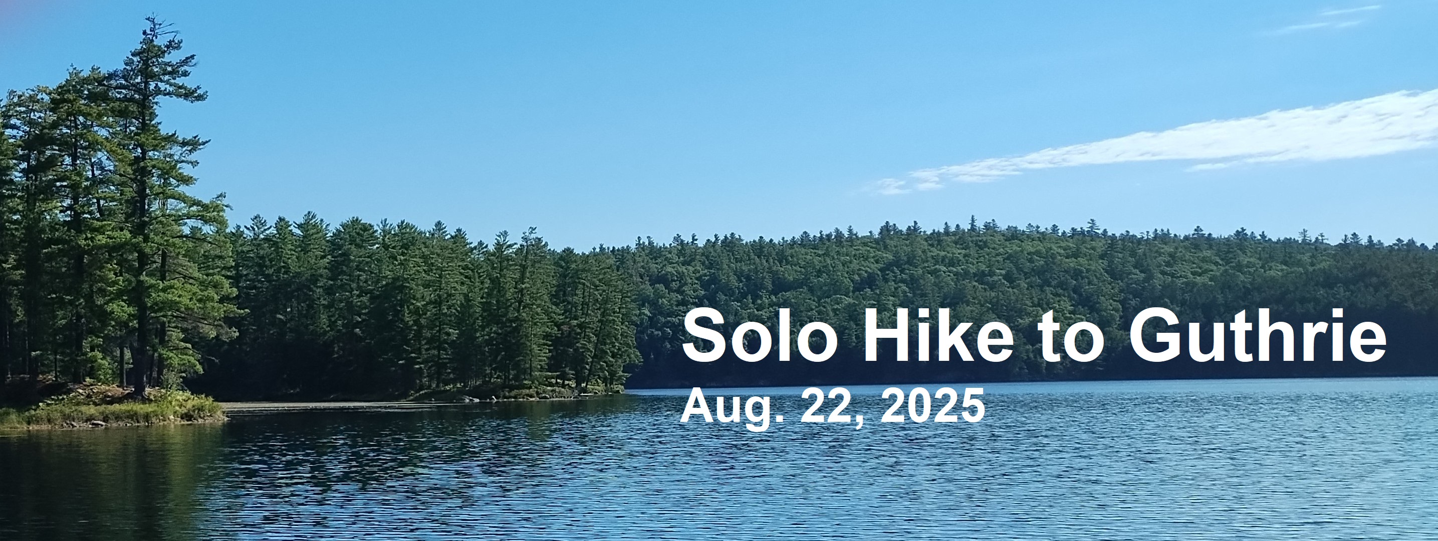 The first trip I made to Guthrie Lake was in early February, 1974. A friend and I skied to the northeast corner of Basin Lake on a Friday afternoon and camped there overnight. The next day, pulling sleds, we skied over to the old ranger cabin on Guthrie. The cabin was in pretty good shape back then.
At that time, 51 years ago, there was a marked trail to Guthrie, and best I can recall it was free of obstacles and windfall all along the route; which made for easy travel. It's difficult to adequately describe the changes and the challenges involved in trying to follow that route today. While I have hiked this route a good many times over the years, twice on this most recent trek I had to stop and get my bearings since it now involves several stretches of bushwhacking in which it is easy to get disoriented. 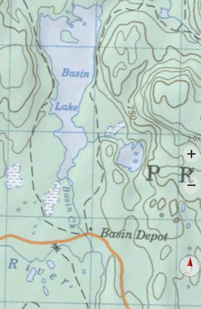
The topographic map of 1975 (above) shows the start of the route of the original trail that went from Basin Depot to Guthrie. Today, the first section of the route (now a rough, narrow road) takes you to the drive-in campsites part way down the eastern side of the lake. Before you get to the campsites the trail veers off running along the east side of the lake to the north shore. This section of the trail is still easy to follow, though several large poplar trees have fallen across the trail this past year.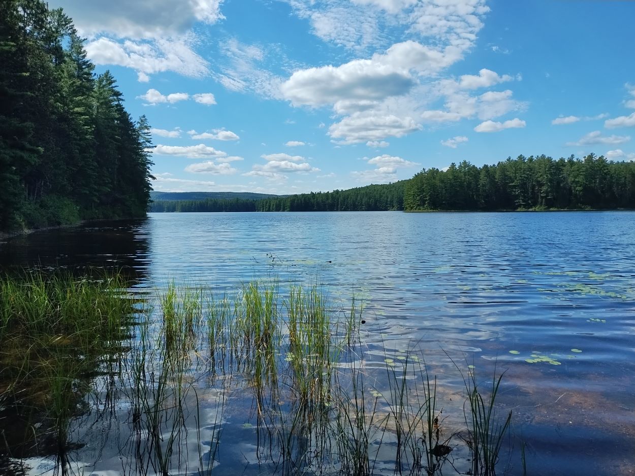
The north end of Basin Lake. When I checked online the reservation map indicated there were no sites available on Basin that day, but I did not see anyone on the lake.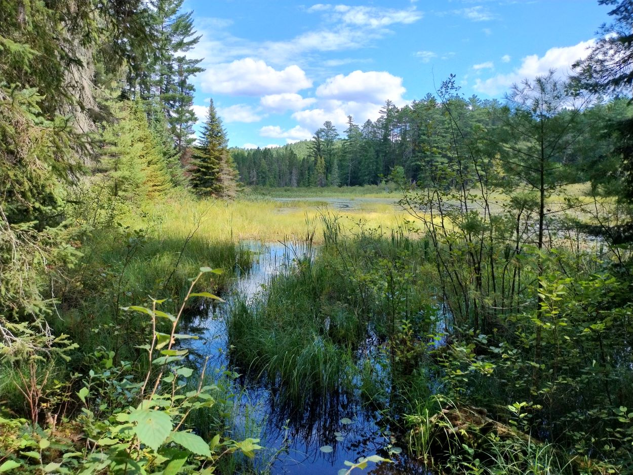 Above the lake you come to an area of marsh and ponds. At this point the old, original trail is no longer visible. You have to make your way around the ponds. Beavers have been hard at work throughout this area.
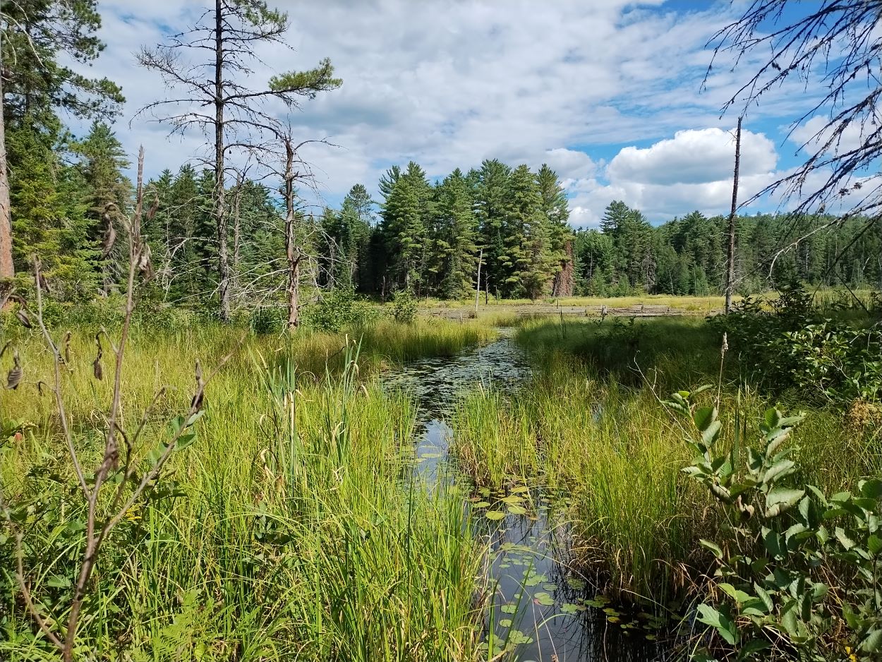
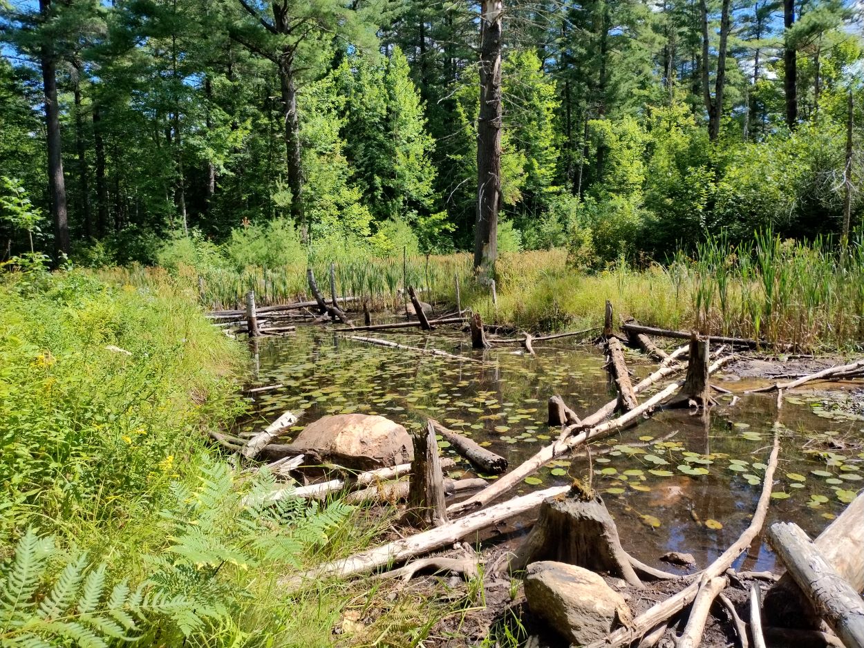 This is the final pond to get around. There is no trail marker here nor sign of anyone having hiked through the area. It took me a bit of time at this point to make my way through the bush to remnants of the original trail that lie in the white pine bush beyond the pond.
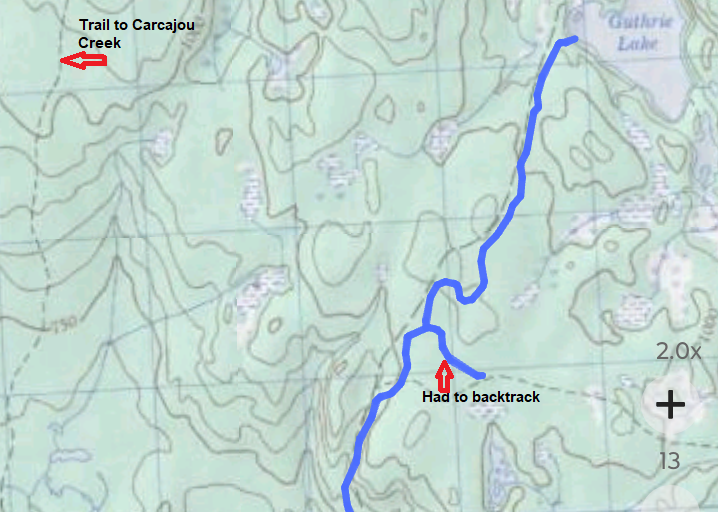
Around the half-way point between Basin Lake and Guthrie I realized I was travelling too far to the south east, in the direction of Clover Lake. I had to backtrack and discovered that I had walked past what is now a narrow opening in the trees that I needed to take in order to stay on the original route to Guthrie. The dotted line on the map above, where I turned back, shows a very old trail that did go to Clover at one time. A logging road was built some years ago that followed that original Clover Lk trail for a short distance, but the road ends more than a kilometer from the lake. That road is beginning to get grown over now.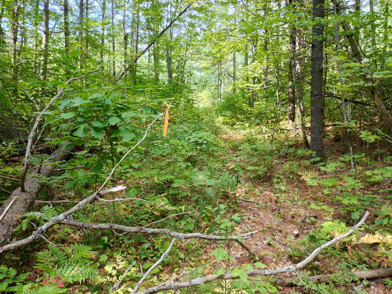
I took this picture to show that in some areas, particularly in the final stretch before reaching Guthrie, signs of the trail we used 50 years ago are still visible. It looked to me that this was due largely to animal use and not human traffic. I should note that there were many signs of bears along the route -- especially in the areas where the raspberries and brambleberries were plentiful. Since I was travelling alone on this hike I made sure to make plenty of noise in those areas. 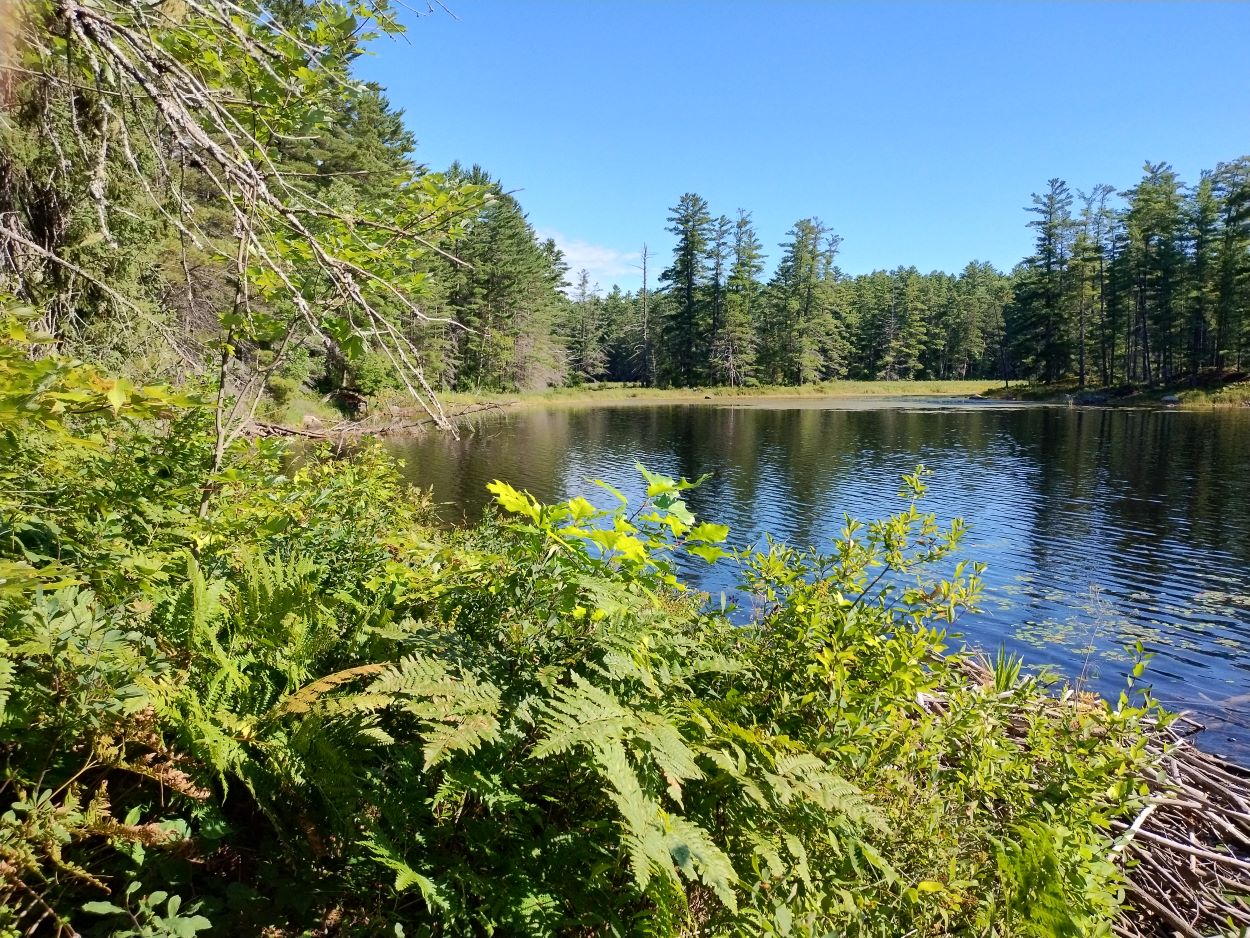 Arrival at Guthrie -- nearing the upper end of the lake the trail comes to a low lying area which is quite wet. The vegetation was so thick at that point I decided to head over a hill and come down onto the lake.
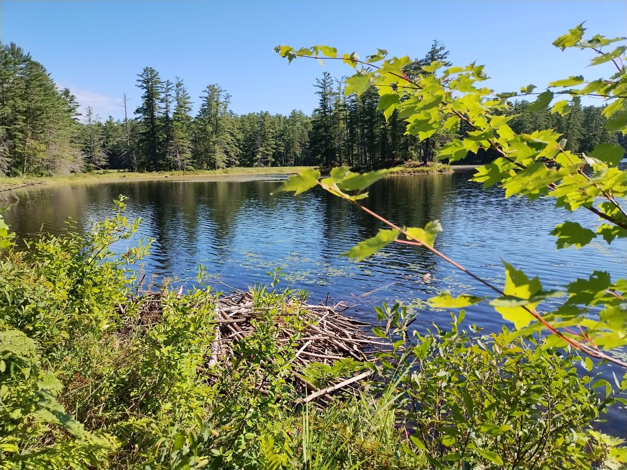
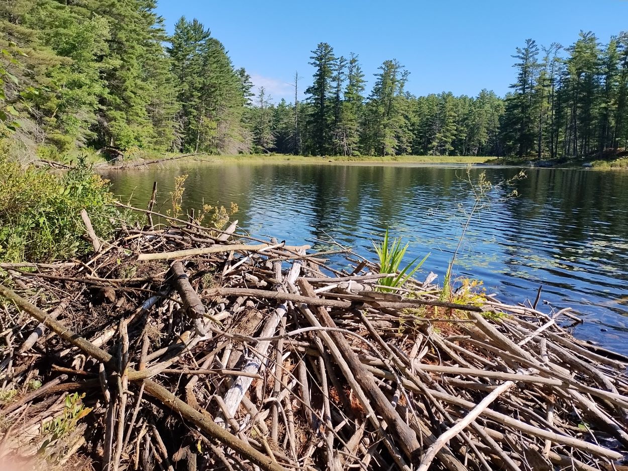
My original plan was to make my way around the lake and over to the old ranger cabin where we had stayed back in 1974. However, the hike in had taken me longer than I anticipated, and with the forecasted high temperature of 29 degrees, I decided not to push further on. I stayed here near the beaver den and had my lunch.
Guthrie Lake looking south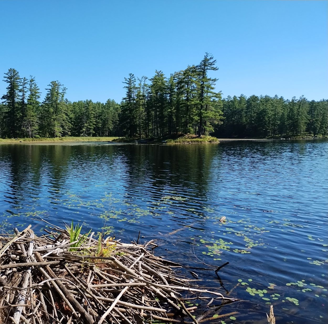 Just this one island on Guthrie.
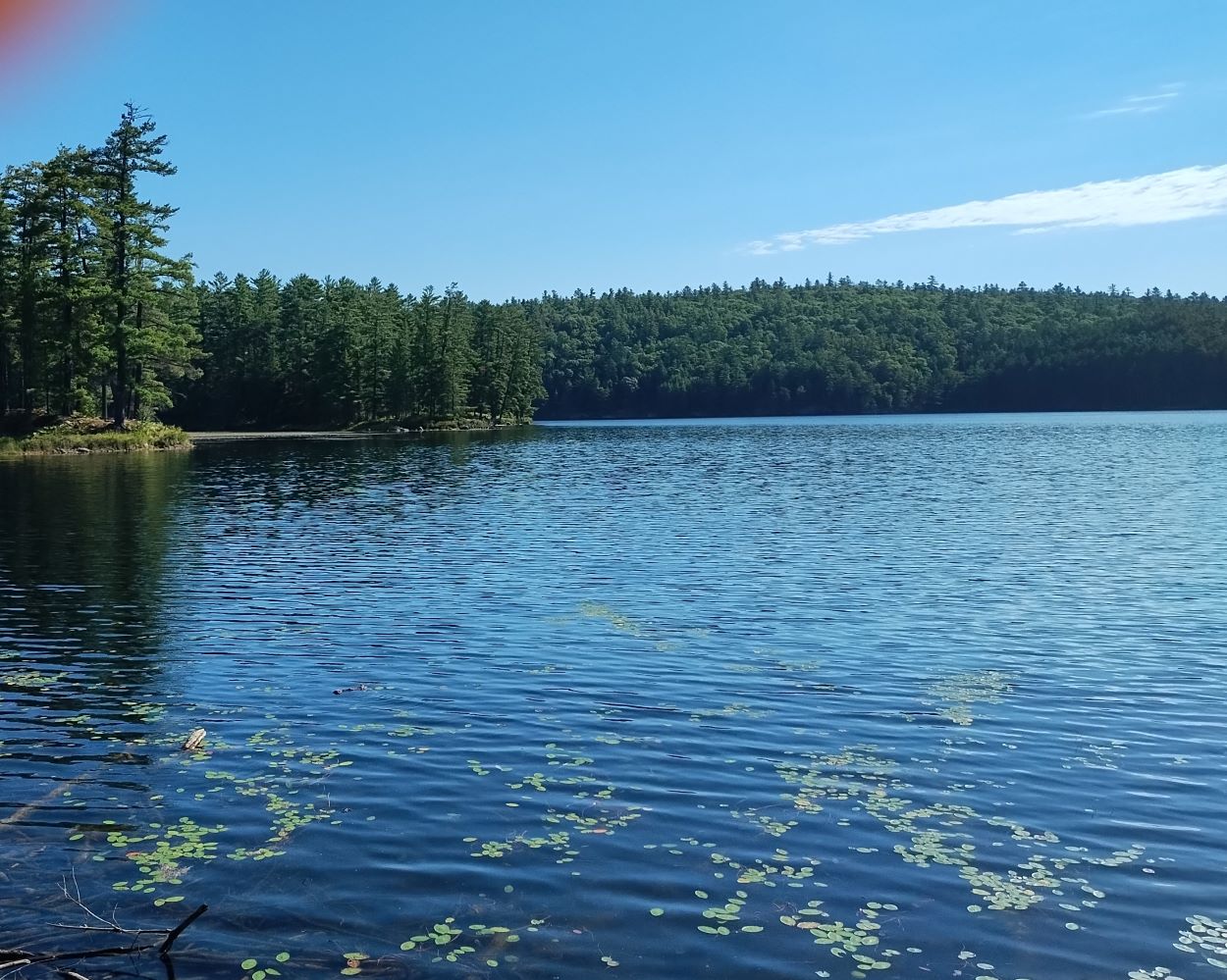 The ranger cabin is located just round the point beyond the island.
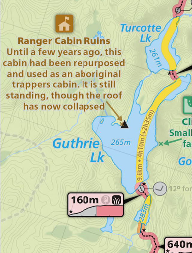
Courtesy of Maps by Jeff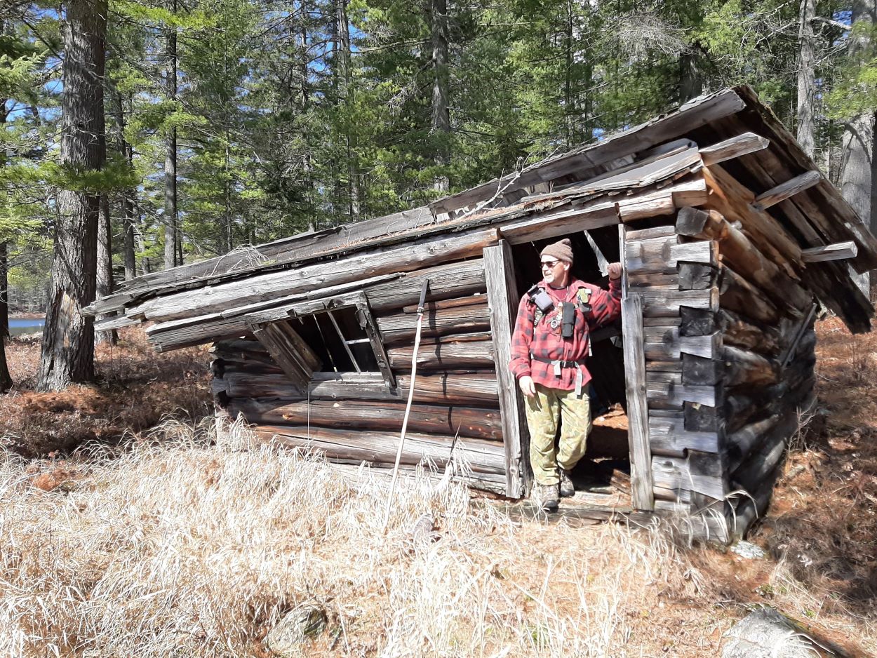 My brother at the cabin when we hiked in back in April 2022.
Back on Basin Lake -- on the return journey I decided to check out the campsite we used back in 1974. There is a narrow sandy beach in front of the site.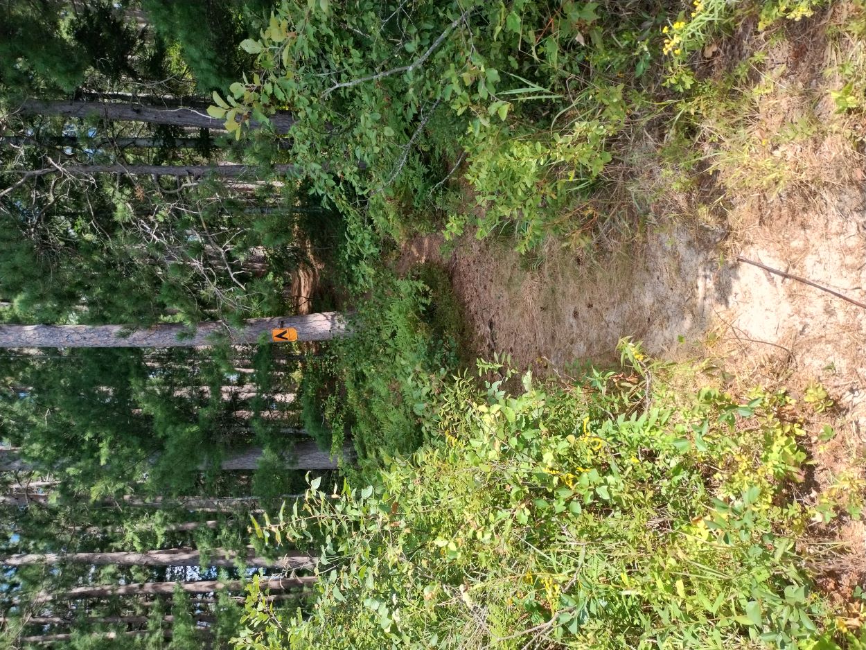
The trail from the shore up to the campsite located on top of the hill.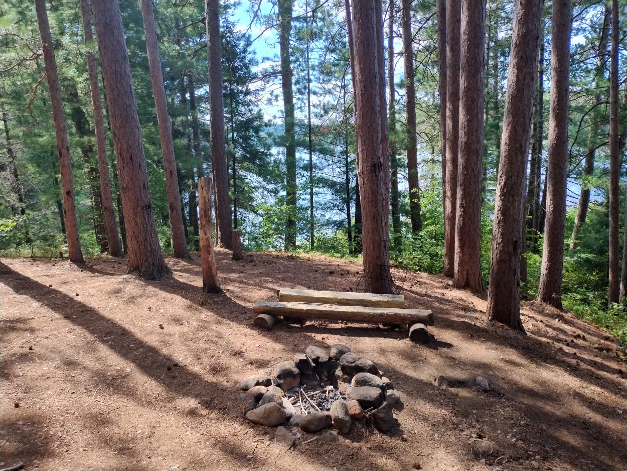
My most vivid memory of that winter night on this site was hearing the wolves howling nearby on both sides of the lake. It was wonderful to hear, but I do recall adding more wood to the fire thinking they seemed very near. That reminds me of a story my father told. Back in the 1930s, he would have been around 20, and he got to know a retired park ranger who had settled in Killaloe. The ranger told about a time when he was working in the park in late fall and could not make it to one of the ranger cabins before dark. So, he gathered a good supply of wood and made a fire in front of a rock face, settled in against the warmed rock and spent the night, waking now and then to add wood to the fire. At one point he woke up feeling the chill, and opening his eyes saw three wolves sitting quietly some distance from the fire just looking at him -- curious I suppose. He added some wood to the fire and off they went.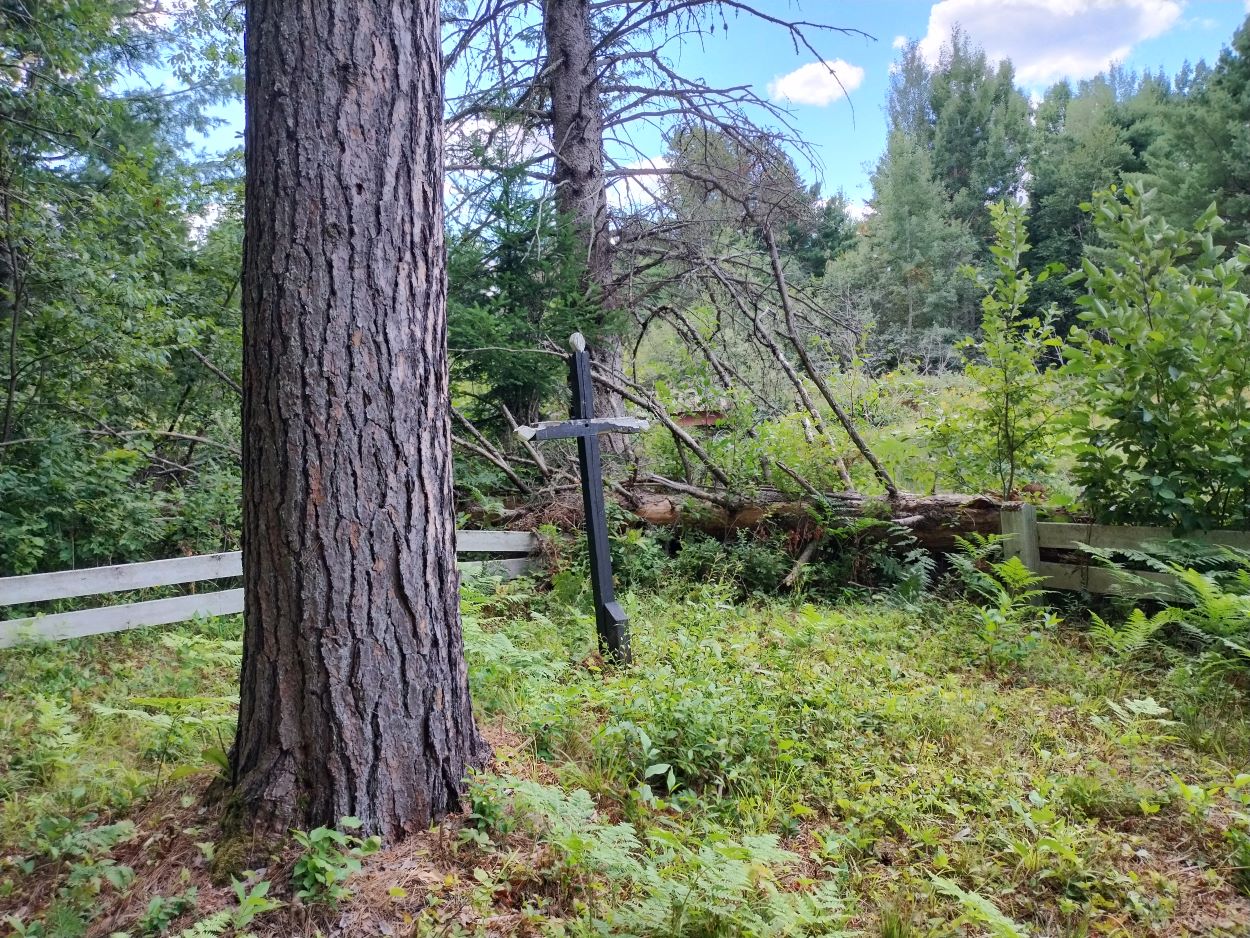
Before heading home I decided to walk over to the graveyard located along the bank of Basin Creek at Basin Depot. The Friends of Bonnechere Parks website indicates that this and a second fenced graveyard mark the final resting places of several former residents of Basin -- "victims of black diphtheria and drowning." The graveyard and fences were restored about 15 years ago but are once again in need of repair.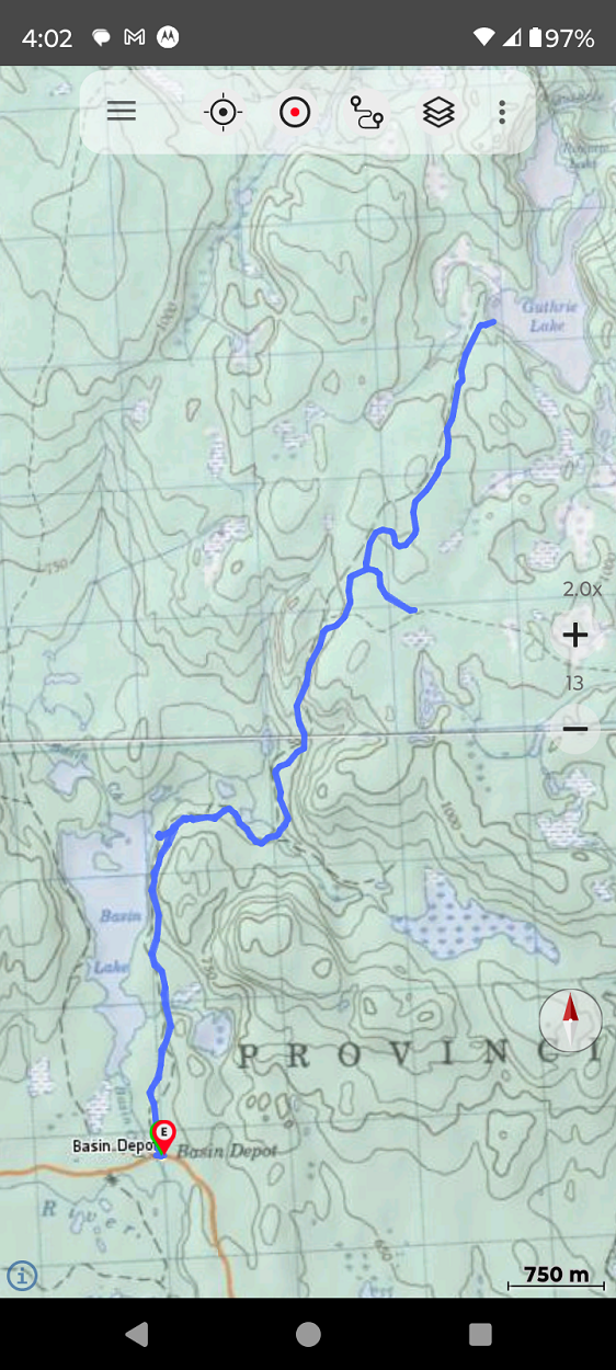
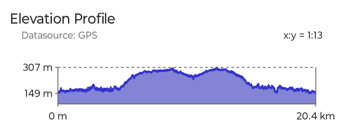
The route -- 20.4 km -- average speed 3 km/hr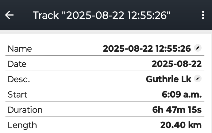
 _______________
This report can also be found on our website at: Algonquin Day Hikers
Last edited by Trail (8/24/2025 8:26 am)
![]() Offline
Offline
Another good journey - thanks for the post!
![]() Offline
Offline

Very cool!! I'm heading up to Bonnechere PP at the beginning of October. Looking forward to hiking around that area!
![]() Offline
Offline
Thanks for sharing that! What a great trip!
For sale: cozy log cabin, beautiful view and nestled in a secluded location. Handyman special.