


![]() Offline
Offline
We dropped Agnes off at the boarder Monday night, got home, packed the truck, and loaded the canoe. The plan was to leave by 6 but we were a bit slow and it was 7:30 when we pulled out. Seeing as how it was a work day for most, we decided to avoid Ottawa and the 417 and opted to take the 401 to the 416. This added about 30 minutes to our trip but was a much nicer drive. Between gas/coffee and a stop at the Portage Store, we arrived at Achray around 11:30. On Grand by 12:15, we made our way to the Stratton portage. It always looks easier on the map, but we found it without too much trouble. Also, being the maiden (loaded) voyage of our Freedom 17’, I was a bit concerned about how it would handle. Ever so slightly tender at rest, but very confidence-inspiring underway. It cut through the waves, which was fine for today but I could see this being a problem in poorer conditions. Both Stratton and Grand were larger than I expected - that’s when I realized that the map was scaled differently on the section we were using: the Highway 60 corridor map - the area with which I have experience - was scaled 1:75000 whereas the Achray/overview map was scaled 1:140000. We made St. Andrews and began looking for a site. The one I had hoped for (3, 4?) was taken so we continued paddling toward High Falls and settled on site 7 - the one with the druid-inspired fire pit.
Not great in terms of flat tent spots, but we made it work. The thunderbox location required advanced planning. Home made, dehydrated chili for supper, a nightcap of Basil Hayden, and off to bed. This was our first trip in 3 years so our tear-down game was a bit off and were on the water by a “late-ish” 8:30.
The St. Andrews - Rouge/Tarn portage is not visible from the lake - it’s hidden behind a couple of large rocks maybe 50 metres south of the only campsite in that area. We doubled to Rouge - 12 minutes + 7 minutes + 12 minutes.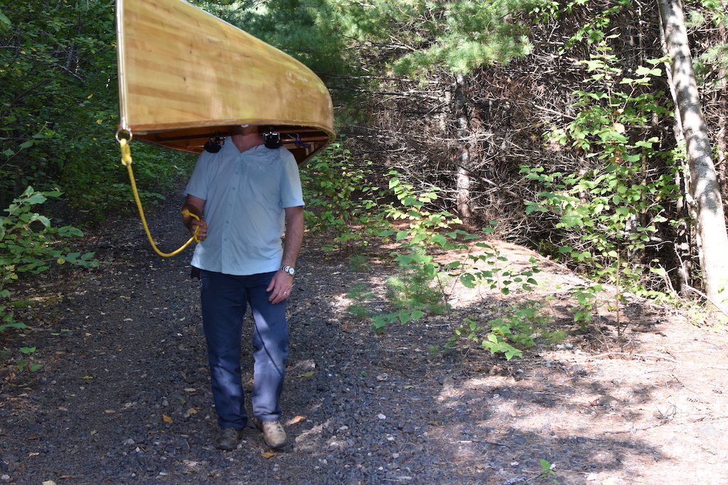
I did not much care for Rouge. The first 200 metres - the outlet to St. Andrews - was choked with lily pads and the lake bottom was poking up above the surface in many spots - making itself apparent both visually and olfactorily. The glare from the rising sun made it quite difficult to navigate but luckily we made it through without getting hung up.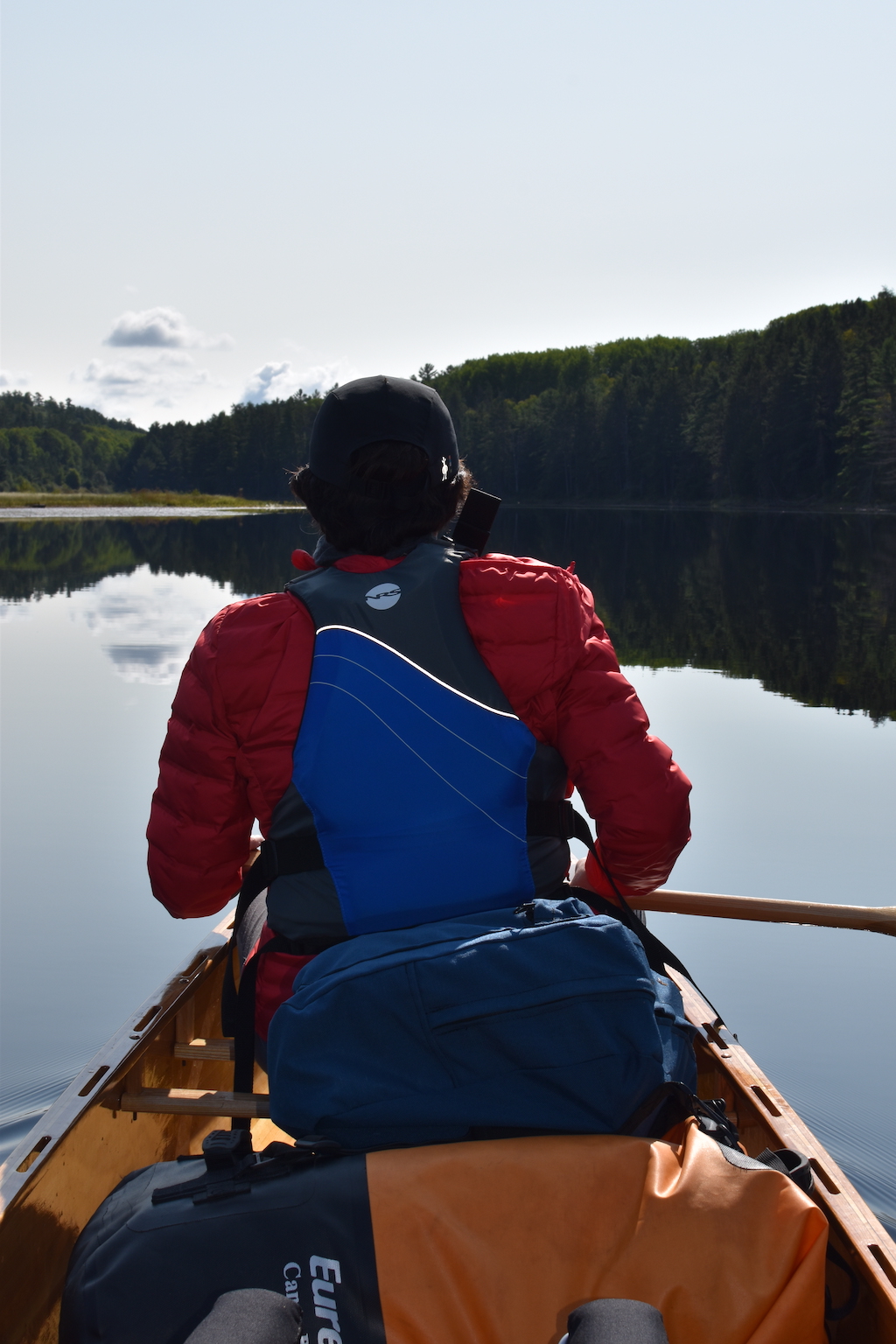
The marked take out for St. Francis was not immediately apparent, but there was an obvious disturbance in the rail bed’s slope where other paddlers had been. I hopped out for a scope. I found the sign, although the following photo doesn't show it. Very close to the spruce in the center.
No way to use the marked area as there was no water. So, up the embankment we went.
We doubled the 950 to St. Francis, stopping at what I though was halfway: 15 minutes in, crossed the peak, and verified on the GPS. We dropped our gear and went back for the canoe, paddles, life vests, etc. We made lunch on the trail - some Happy Yak Chicken Orzo soup. They’re a bit pricier then the other commercial options, but we found Happy Yak’s offerings to be very good.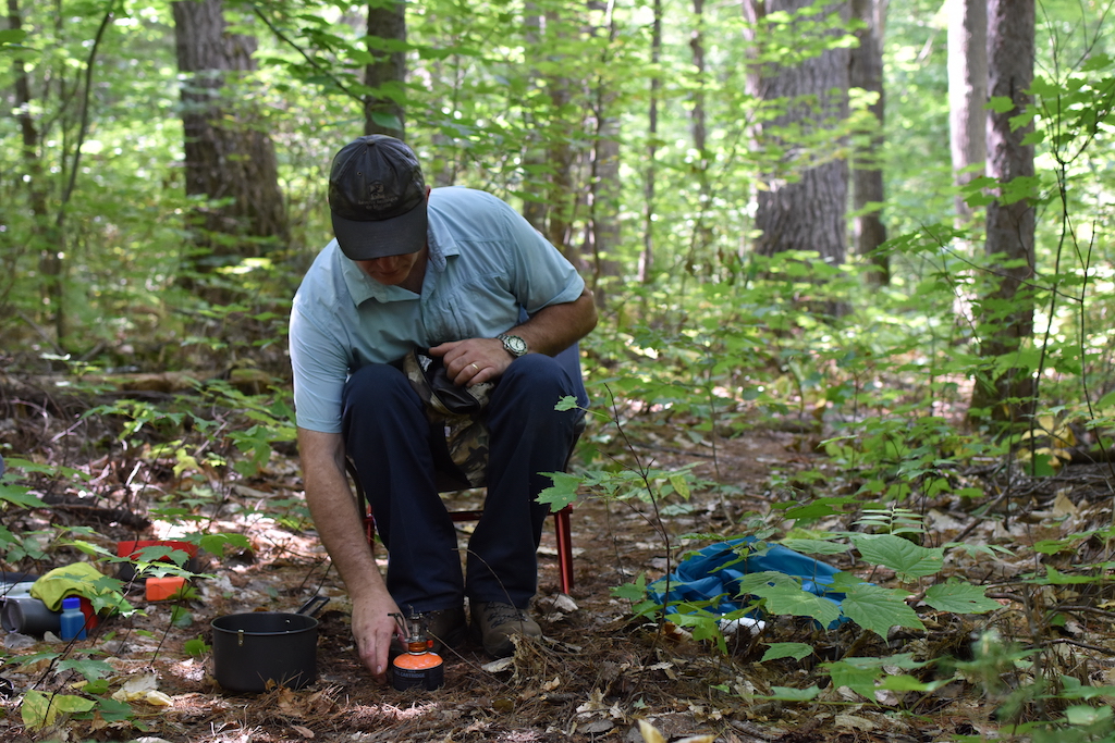


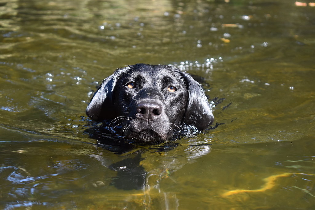
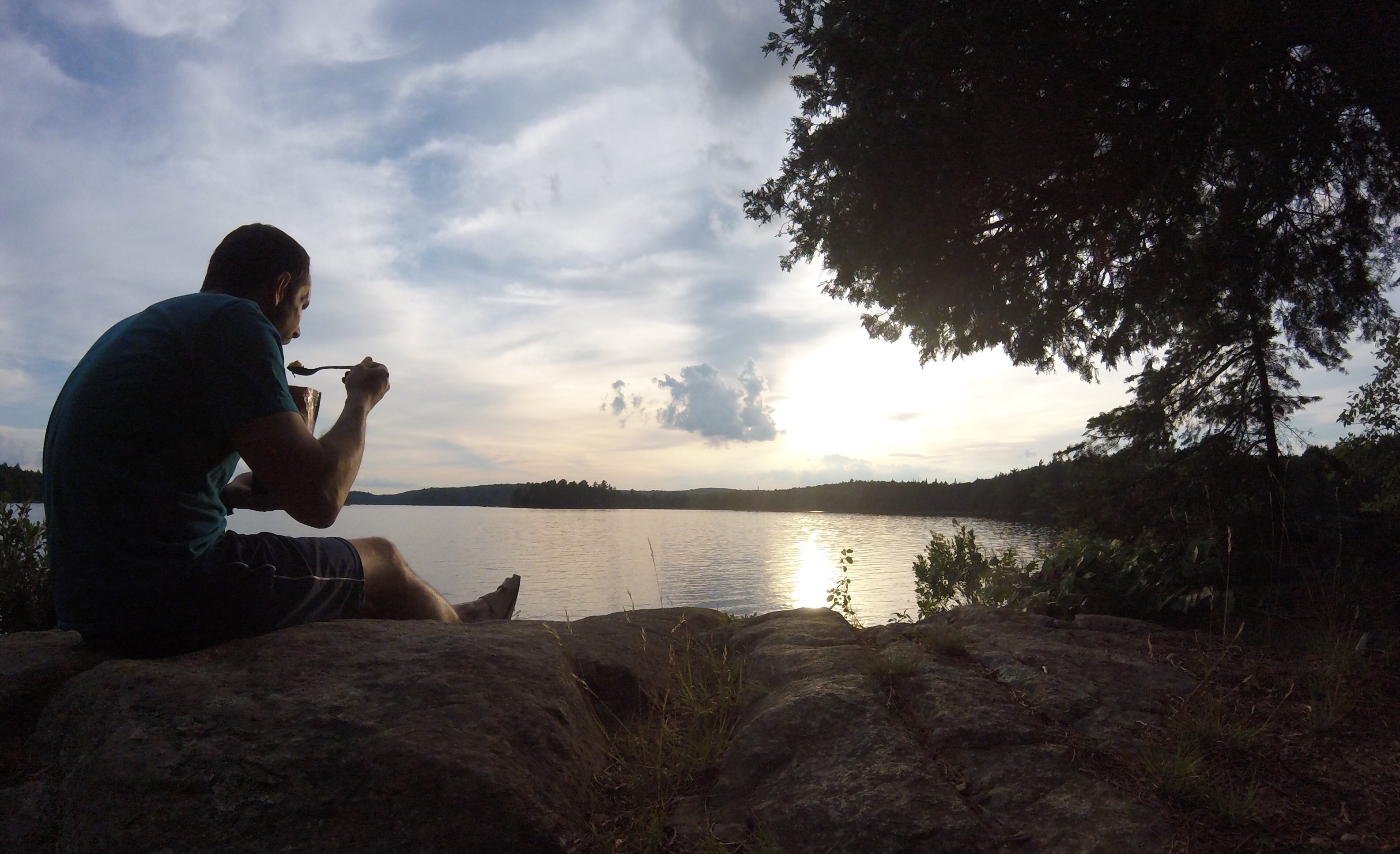
Lunch done, packs donned, and back at it. 5 minutes in and we’re at the put-in. I guess that wasn’t halfway - a nice surprise. Returned for the canoe and bits and were underway on our destination lake. Of note, there is a “cheater” put in about 30 metres prior to the official location, but water levels were too low to take advantage. St. Francis was… green. Like spinach-smoothy green. I estimated about 24” of visibility using my paddle as a gauge. There was no surface scum, just green, cloudy water. This may have been a dumb move, but the lake had a paired couple of loons with offspring, the fish/fry were abundant, and I had my trusty Katadyn Pocket. We drank less water than we would have liked and felt no ill-effects. The filter did require a couple of cleanings during our 2-night stay.
The site is a very nice location, but all potential tent pads had a bit of a slope. We set up right at the trail to the thunderbox. After supper (Alpineaire Spicy Bolognese - not great/pasty) my thoughts turned to occupying ourselves on our “day off” and the trip out. As a wise @solos stated in my Packing Day thread: “"Bug-Out" ??? Is that some kind of bug shelter? In September? If so, I think you'll be better off without it.” I thought a “caching” trip back to St. Andrews might be a good way to pass the time. I ran it by scratchyskirt and she agreed. I prodded the InReach for a weather forecast: sunny, highs above 25 and lows above 15. We began ruthlessly pairing down our gear: Bug Out, bug jackets, sweaters, rain gear, Gomboy, hatchet, spare fuel canister, etc. We filled a Eureka Canoe Pack 70. (I weighed it when we got home - 28lbs). So the next day we loaded our surplus gear and hit the water. It was 9:07. We left the canoe at St. Francis, hiked the portage trail to Rouge, then hiked the railbed to st. Andrews.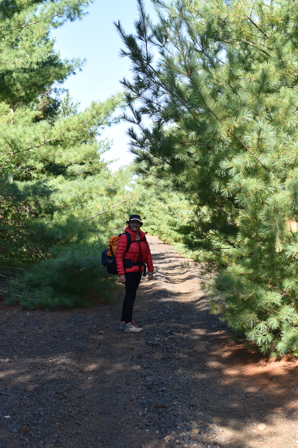
I rough estimated it to be about 1600 metres from the Rouge put-in to St. Andrews. I disliked the previous day’s Rouge experience enough to briefly (really briefly) consider portaging right past it. But although the rail bed is nice and level, the ballast is no fun to walk on. Of note, not that you’d really need one, but a compass is useless here as the mostly iron ore ballast sends the needle into lala land. We arrived at 10:30, found an out of the way spot, and made a gear-stuffed, rain poncho burrito. Back at camp by noon and went for a quick swim. We had a late lunch (Happy Yak Ranchero soup - it was 26 degrees and we’re having soup?) and took a nap. Given our late lunch we weren’t that hungry but knowing we had a big day (for us) ahead, we cooked up another meal of chili. This time we doctored it with the addition of KD. We made a fire and burned what we could of our garbage and hit the hay at around 9:30.
We were unable to predetermine if our remaining gear would fit into the larger Canoe Pack 115, but it did and we pushed off at 8:37 with our smaller pack empty. We paddled the very calm water to the port and loaded our life vests and camera into the empty pack. I carried it and the canoe while ‘skirt carried the larger pack and we managed to single it in 23 minutes. Same arrangement for the Rouge to St. Andrews port - 12 minutes. We grabbed our stashed gear and slipped the entire burrito into the small pack and downed a couple of Nature Valley bars. It’s at this point where I floated the idea of making straight out one day early. We had a reservation but Stratton did not hold much appeal to me. I think Jeff’s Map - with all of the information crammed together - makes the lakes look much busier than they are. Given it was now Friday, I had concerns that the crowds might already be en route and site availability might be an issue. We decided to blow past the southern sites, past the hiking-only sites, and hope for a free spot near the northern end. If there weren’t any, we would make straight out. If this were to be the case, I conservatively estimated to be at Achray by 2pm.
We launched onto St. Andrews at 10:15. 12 minutes later we were taking out at the port. **Special note here: the cedar tree that is on the Stratton side of the port - front and center and the ideal spot against which to lean one’s pack - has a very active wasp nest in it’s base. I did not get stung but it was close.
We made a bee-line for Stratton’s north shore. Mistake. We wanted to be close to shore to scout sites, but there are lots of rocks at each point that forced us out into the now, not insignificant, southeastern headwind. I saw a break about halfway up and forced the decision - cross back west and make straight out, or continue fighting the wind until we find a spot. It was 10:45 and agreed that an extra day at (air-conditioned) home would be nice. So we crossed.
The section from the train bridge to the take out was particularly boney. It is here that I learned that chipmunks can swim. We saw three of them do this - one of which slammed right into the side of the canoe, bending its little nose out of shape. I felt for the little guy but it was quite comical.
Onto Grand and the wind was now blowing more easterly, so we received some much-appreciated assistance. Beached (wet-foot) at noon. I reported the green water situation to the ranger who said that biologists were on their way there the next day. He appreciated the information. Packed and on the road by 1:15. In all it was a great trip with exceptionally good weather - albeit a tad warm for my constitution.
Downsides were the green water on St. Francis and the near constant artillery fire from nearby CFB Petawawa. I was concerned given that ‘skirt hadn’t done any portaging longer than 600 metres in a day, but she took it in stride and I lived to tell the tale.
Apologies to Barry and those that make use of the PCI - I did not fulfill my intended reporting duties of the currently undocumented areas.
Last edited by scratchypants (9/11/2022 10:26 am)
![]() Offline
Offline
Great write up and pictures. I'm curious to know what the result was of the biologist's visit to St. Francis. I'm with you on Rouge, it's not the most exciting lake. When I did it I remember thinking the only good thing about it was that I didn't have to carry the railway bed to get to St. Francis.
Last edited by AlgonquinLakes (9/12/2022 8:26 pm)
![]() Offline
Offline
I'm pretty sure that Rouge Lake wouldn't even exist if it weren't for the railway embankment disrupting the natural drainage of the area. Rouge lake at least makes that bit paddleable.
![]() Offline
Offline
Just saw the Park now has an algae bloom advisory for St. Francis
![]() Offline
Offline
Well at least now I know what one looks like.

 1 of 1