Day 11, 12 and 13: Opeongo to Oxtongue
79 kilometres. 23 portages, 10.5km portaging
Route Map - https://caltopo.com/m/N6DFR
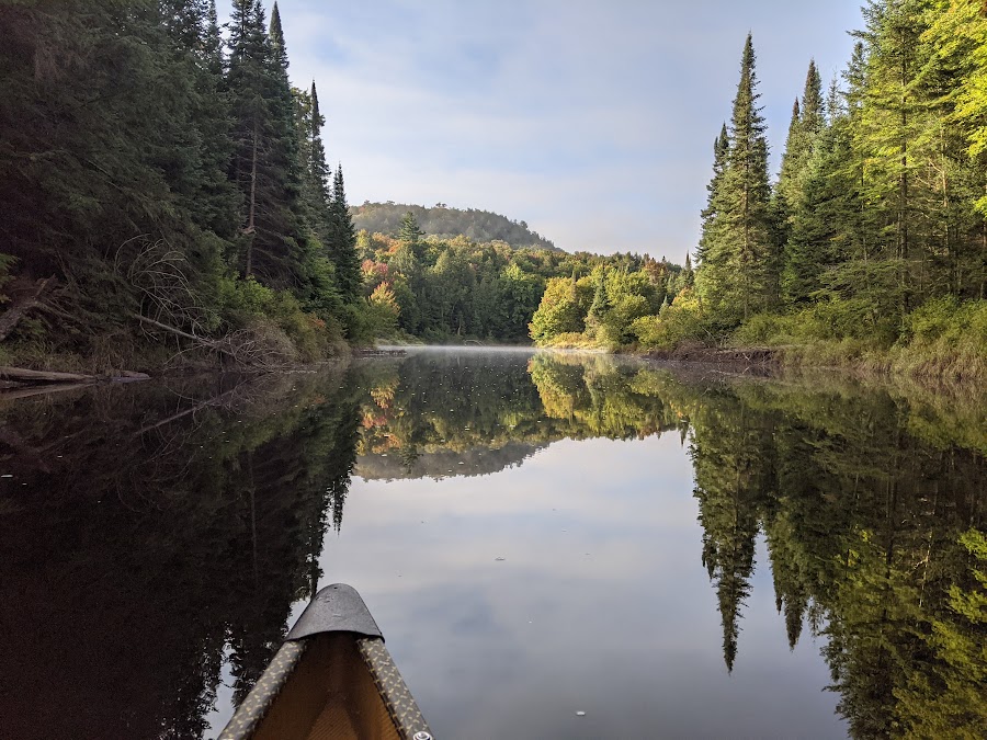
The last stretch of the Link is along HWY 60. You might think this is the busy portion of the Link. It’s not. Very few trippers follow this path. It’s tough. From Sproule to Tanamakoon Lake is about 30km and there is nowhere to camp along the route. There are several tough portages at the beginning of this leg followed by paddling up the Madawaska River. This portion of the Madawaska is another one of those endless, tedious, twisting streams. Because of very low water, we also had to pull up and over dozens of beaver dams.
We arrived at our campsite on Tanamakoon pretty early, before 4pm. It was sunny enough to go for a swim and rinse off our filthy clothes. As the afternoon progressed, we started getting messages. My wife simply said, “Storms were forecasted for Algonquin this afternoon.” Gord Baker sent us a message, “watch the weather today, chance of t-storms”. Markus Rubino, “Tornado watch, frequent cloud to ground lightning, ping pong ball size hail, the Apocalypse, end of everything!” We perked up at that one. The sky had been getting darker throughout the afternoon. By evening the wind was picking up from the Southeast. We had an early dinner and kept our eye on the skies. Just before dark the thunder, lightning and rain hit a few kilometers to the west of us. But it never got any closer. It seems we were on the very edge of the system. We went to bed accompanied by constant rolls of thunder and flashes of lightning.
The potential for Apocalypse made it hard to fall asleep but overnight nothing much happened. By morning the weather was fine again. A quick breakfast of Pop Tarts, bacon and coffee and we were off to Source Lake. An hour or so later we were paddling up to Camp Pathfinder with its rows of beautiful red cedar canvas canoes. Unfortunately, no one was around. We knew the camp was off limits to the public due to COVID, so we didn’t land. We just floated around in-front of the docks for 10 minutes hoping someone would come down. Nobody showed their faces, so we carried on. Too bad, I would love to see more of Pathfinder. It is a historic place that takes campers on some spectacular trips around Algonquin and to far Northern Ontario.
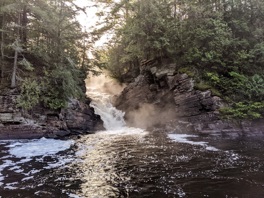
This was another long day. Travelling nearly 45km, we paddled and portaged our way to the Oxtongue River and descended it all the way out of the park. For our last night of the trip, we stayed on a Crown Land campsite at Gravel Fall. I had camped here six years earlier with my son. Besides being next to one of the most spectacular waterfalls in Algonquin, it also holds special memories of spending time with Owen. We had nice weather, a great fire and toasted to a successful Link. I stayed up late watching the embers die down and felt all was right with the world.
The following morning, we paddled for an hour or two through a thick mist to get back to Algonquin Outfitters on Oxtongue Lake. We arrived at the docks at 9:30. There was no ribbon, no pipers and no fire boat. But there was a Gord Baker and a Bill Swift to cheer us in.
I feel really good about this trip. I set out to do something challenging. To really push myself. To see parts of Algonquin that few trippers see and do it in a way that put me at the limit of what I could do. Other than a sore knee and some black toenails, I came out of it unscathed. I feel a little bit stronger than I did at the beginning of the trip and managed to spend a couple of weeks unplugged from the craziness of the world around us. Scott and I have agreed to do it again when we are 60. Good lord and good knees willing.

Madawaska River

Damn Dams

Camped on Tanamakoon

Camp Pathfinder

Oxtongue River

Last campfire

Gravel Falls

Paddling through the mist

Scott Martin and Bill

Meanest Link complete!
Last edited by MartinG (10/09/2021 2:40 pm)


 MooseWhizzer Dave wrote: