


![]() Offline
Offline
 In 1848 John Egan built a dam and water-powered sawmill at a site on the Bonnechere River that came to be called Milldam. (Roderick MacKay, Spirits of the Little Bonnechere, 1996, pg. 68). Between 1847 and 1852 a toal of 23 dams and eight slides were built along the Little Bonnechere to float logs down the river in the spring floods.
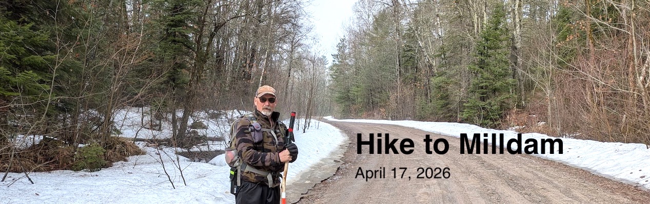
Our plan was to try to hike in to the Milldam site. We had checked out conditions along the Basin Depot road the previous week (on April 7). At that time the road was snow covered and there was still deep snow in the bush. The weather had turned warm over the following week so we hoped conditions might be more favourable when we set off on April 17.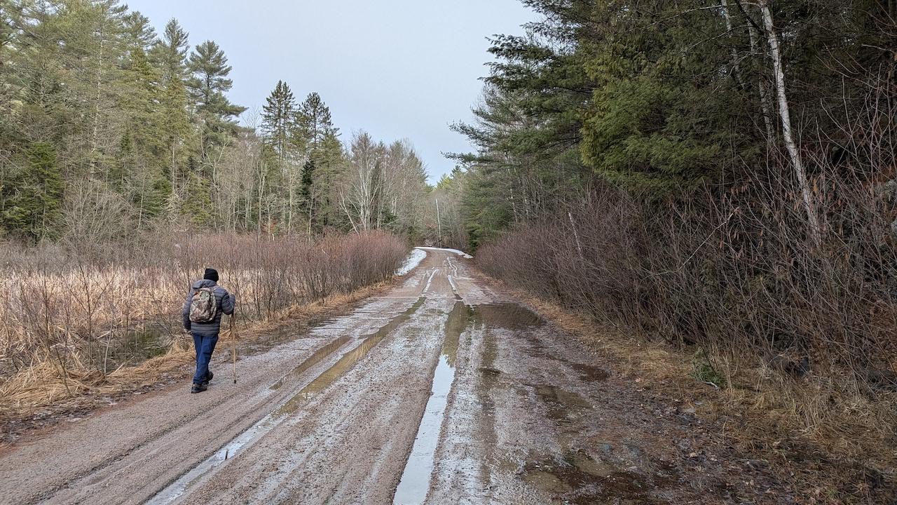
We were able to drive as far as the 25 km mark on the access road. After that it looked too soft to be safe. If we did get stuck it would be a very long walk out with little certainty of another vehicle coming along. 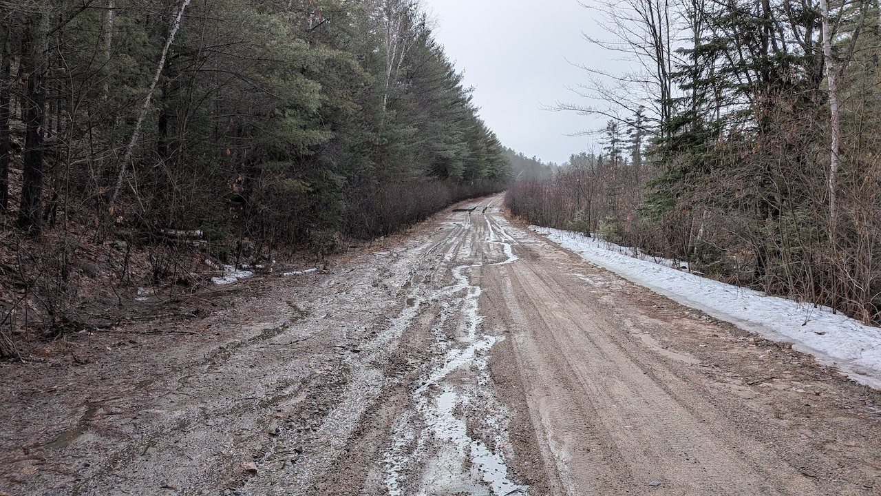 After leaving the truck we had to walk about 4.5 km along the road to the point where we would bushwhack in about 2 km toward the river.
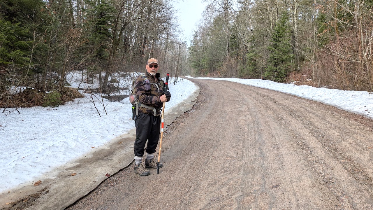
It was a grey and cool start to the day but the forecast called for a sunny day and a high temperature of 18 degrees in the eastern side of the park. Climbing higher the road conditions were better but there was more snow. The deepest snow was along the road. It was more patchy in the bush.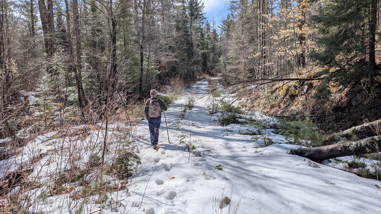
We noticed an old logging road at one point and decided to check it out to see if it might take us toward the river.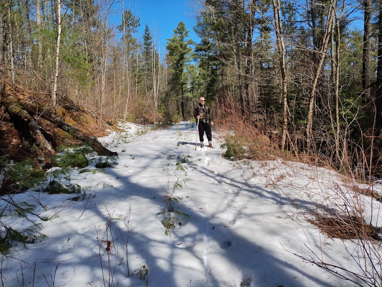
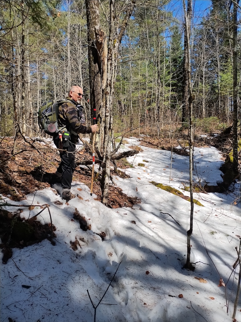
The logging road got us in about half way, but from this point we had to bushwhack the remainder of the way.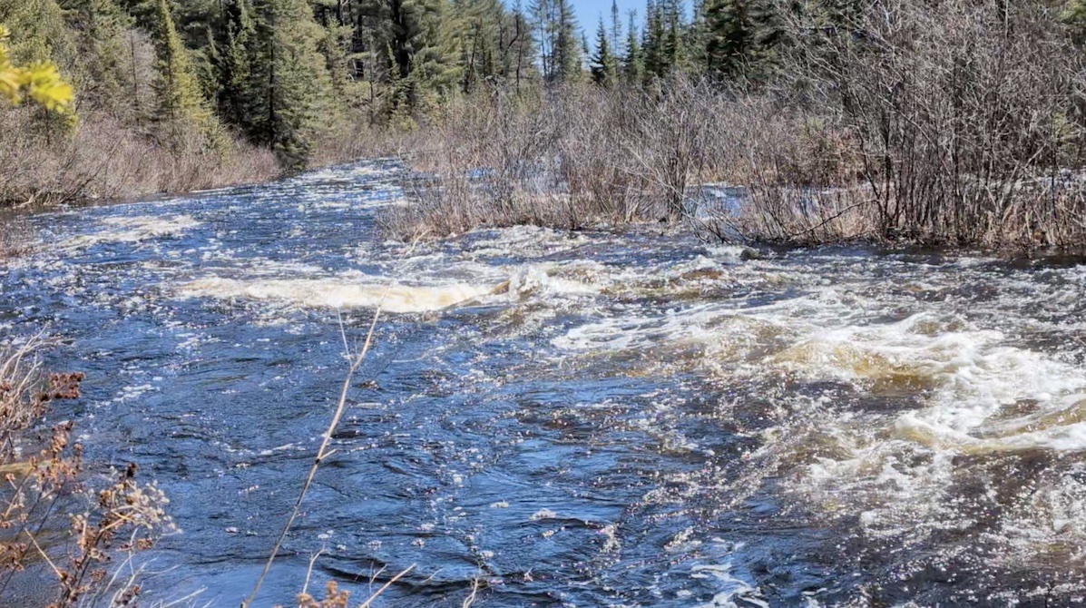 We came out to the river a short distance below the spot we were aiming for and which we thought was the likely location of the dam.
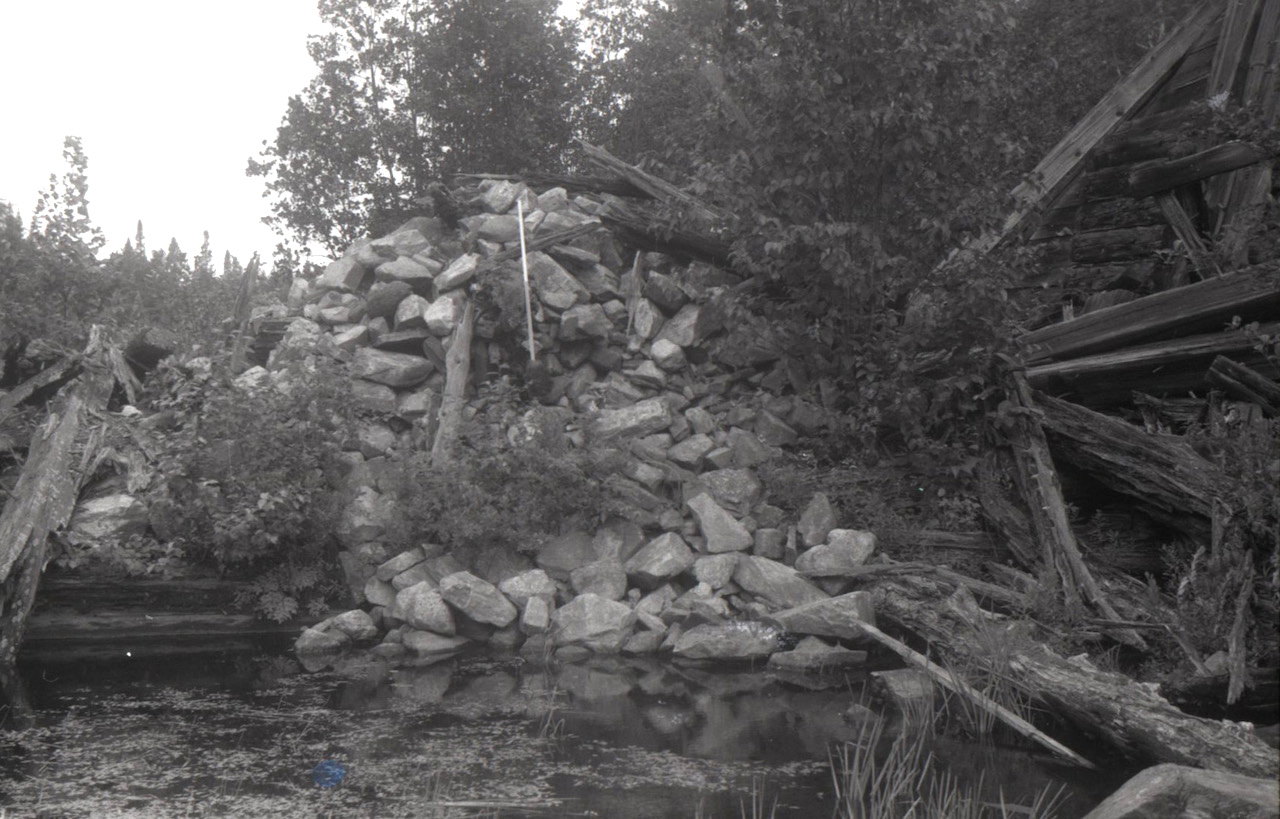 Algonquin Provincial Park Archives & Collections, 1976.60.92, Roderick MacKay Collection. Used with permission.
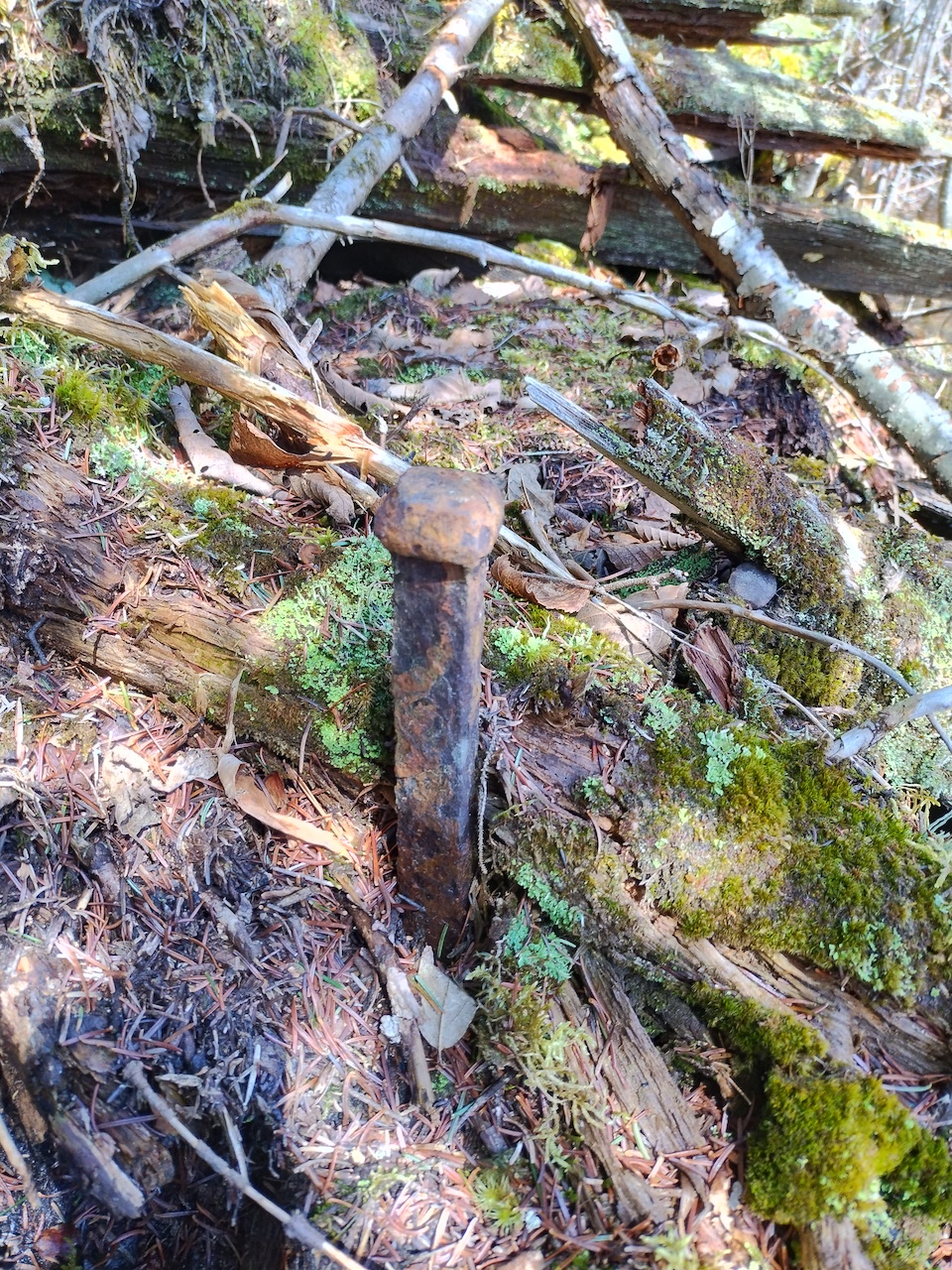
We knew from having reviewed photographs on the Algonquin Provincial Park Archives website that the mound of rocks shown in the above image should still be evident along the river.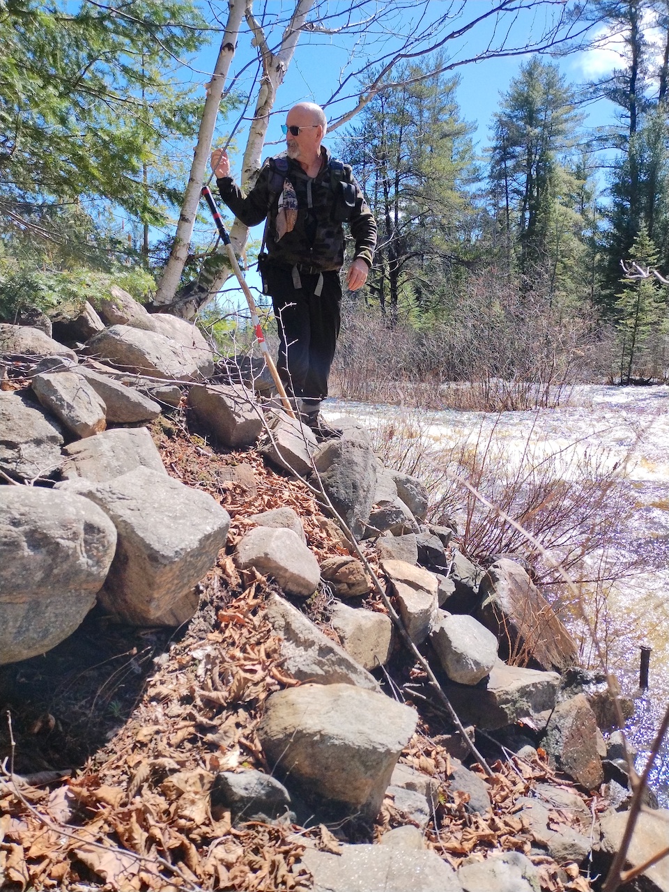
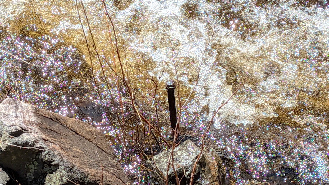
Making our way upstream we came to the mound of boulders and knew we had reached the dam site. The spikes shown in the lower right side of the picture were also indicators. With the river running high the lower parts of the mound were submerged.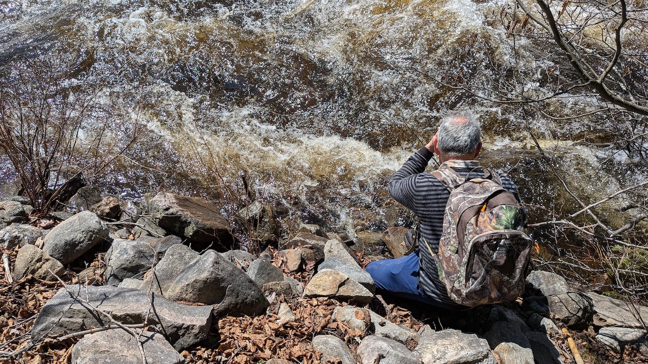
There was a heavy flow of water through this narrow point in the river. We made a short 26-second Youtube video of the flow. Video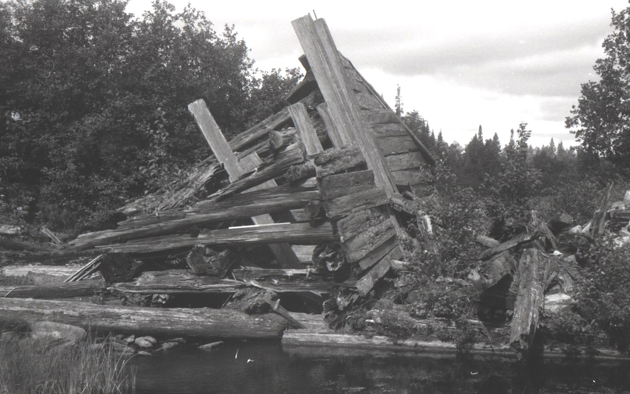 Algonquin Provincial Park Archives & Collections, 1976.60.90, Roderick MacKay Collection. Used with permission.
This image from 1976 shows a vertical part of the dam, one side of the gate through which the water would flow. The pile of rocks seen on the right side of the image, and in the other images above, would have been contained in a wooden crib. Across the top, between the vertical beams on the side of the gate is where the stop logs would be put in place to hold back the water. In 1848 the site included a mill and water wheel to generate the power to operate the saw. The dam could hold back 9 feet of vertical height of water.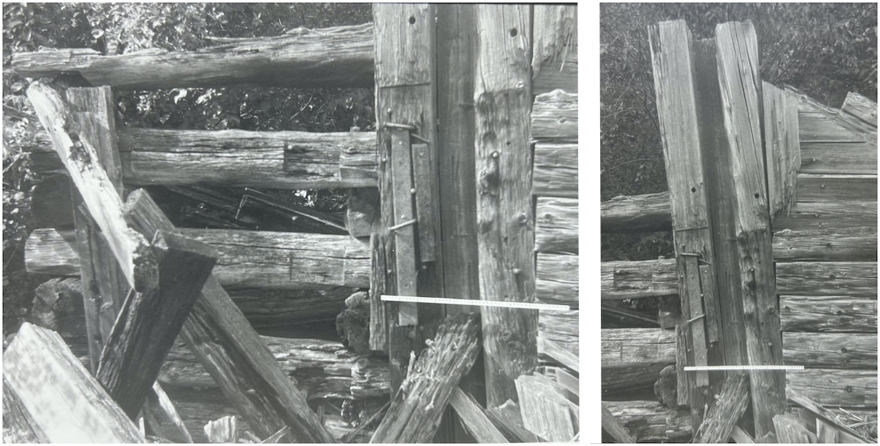 Additional photos from 1976 courtesy of Roderick MacKay. The white bar on the images is a metre stick.
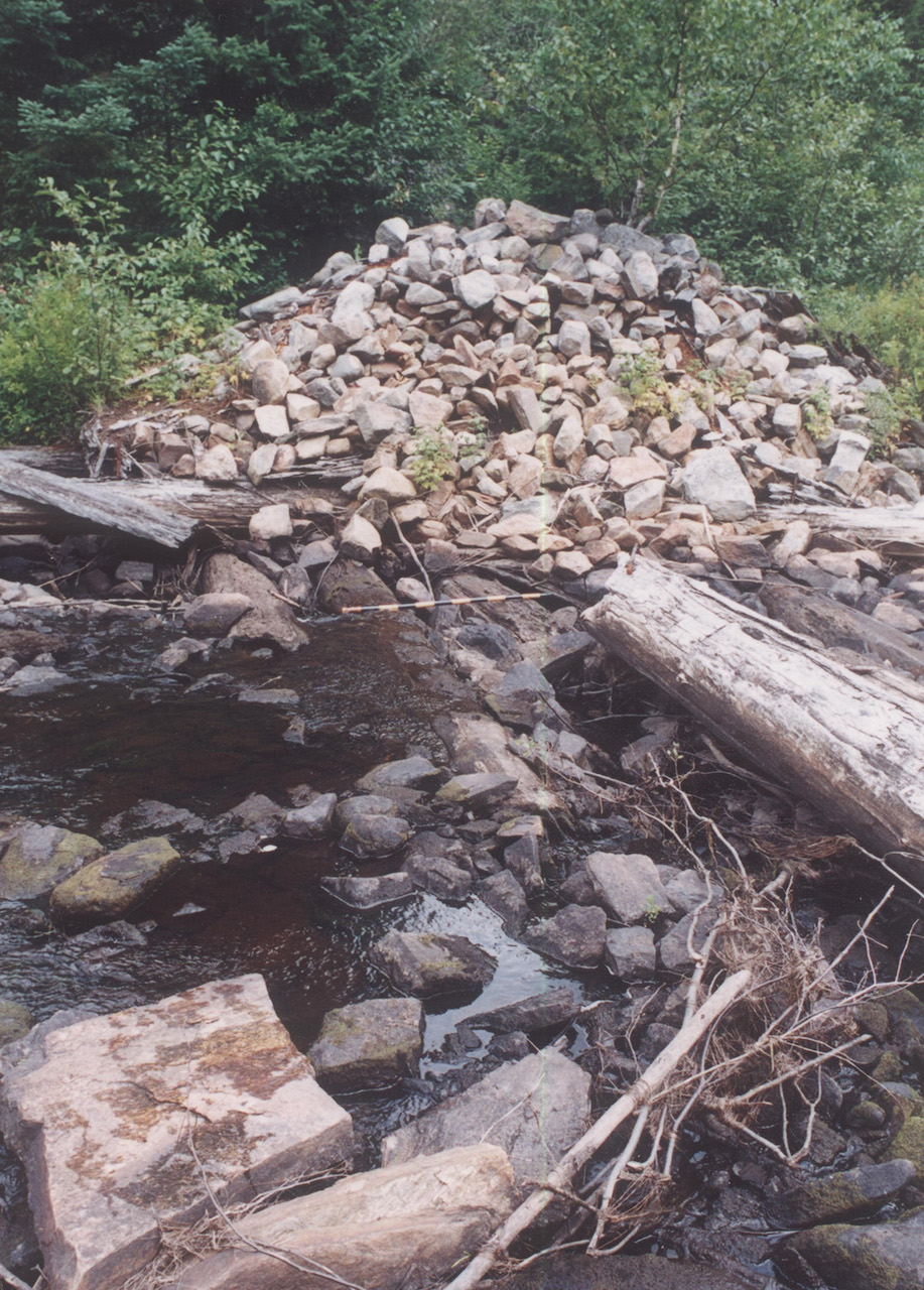
Algonquin Provincial Park Archives & Collections, 2026 2.6, Roderick MacKay Collection. Used with permission. A view of the site in 2001.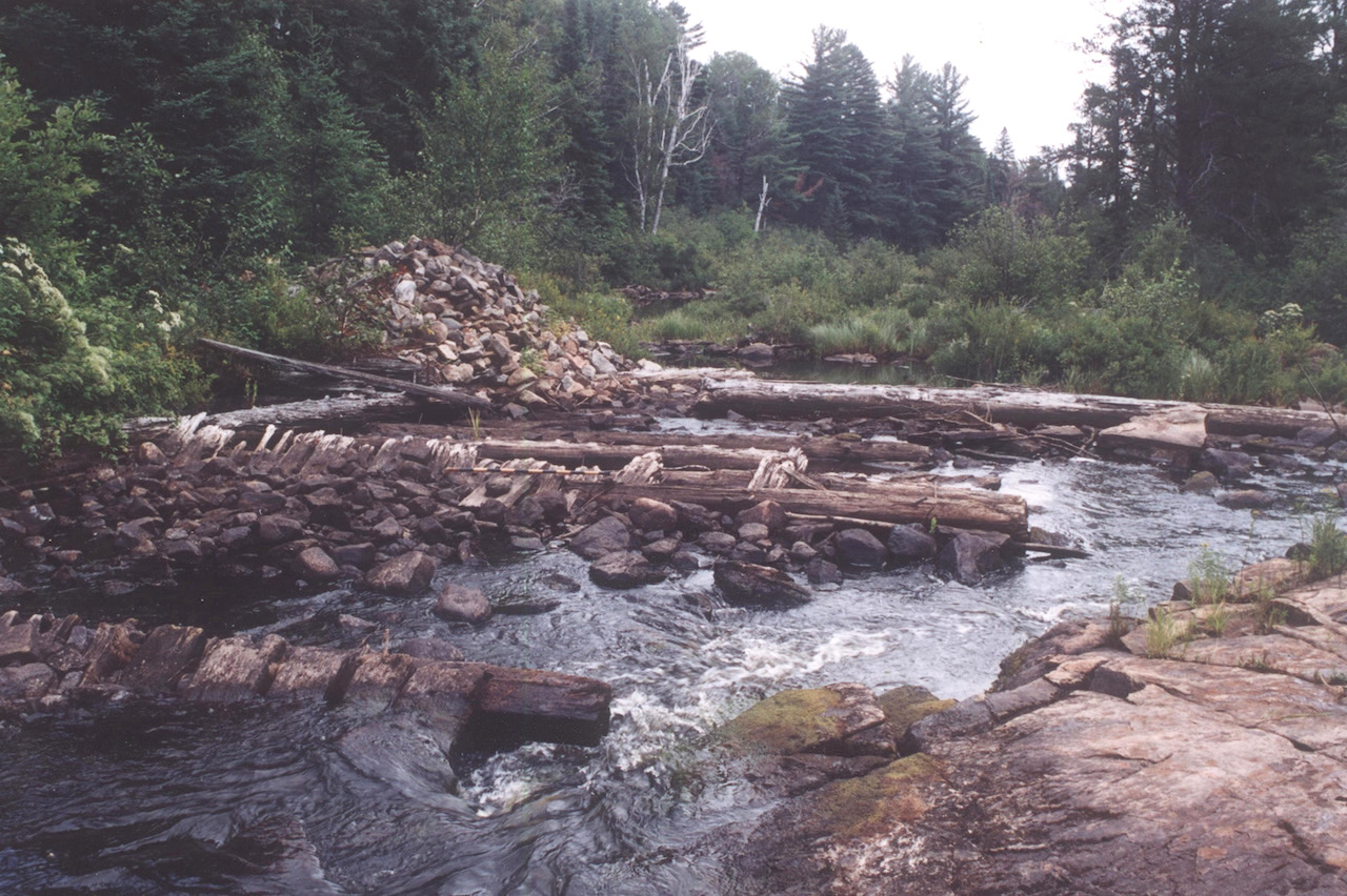 Algonquin Provincial Park Archives & Collections, 2026 2.8, Roderick MacKay Collection. Used with permission.
The remains of Milldam in 2001, photo taken looking downstream during a time when the river was very low. The wooden structures that were present in the 1970s have been swept away by the river.
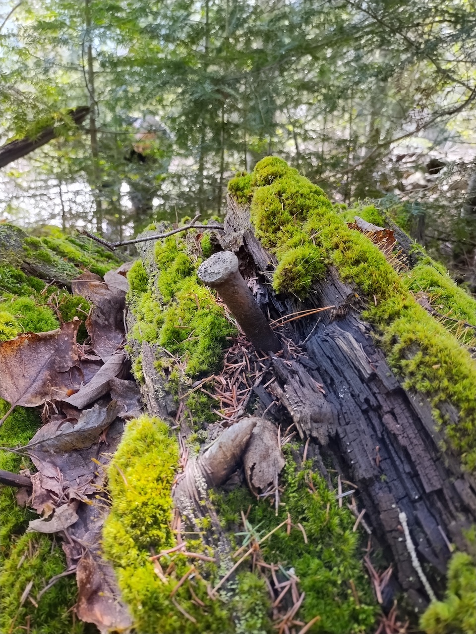
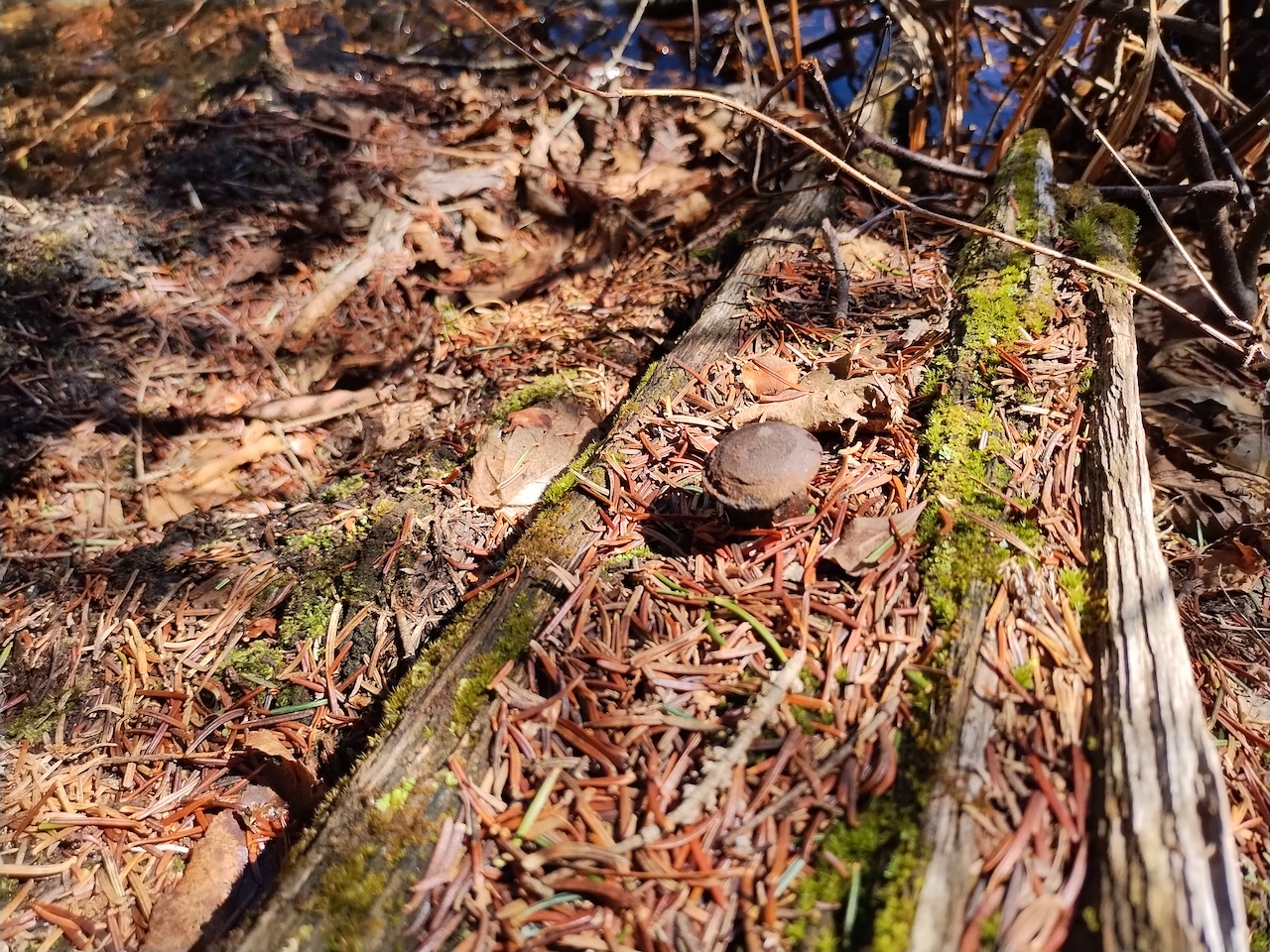
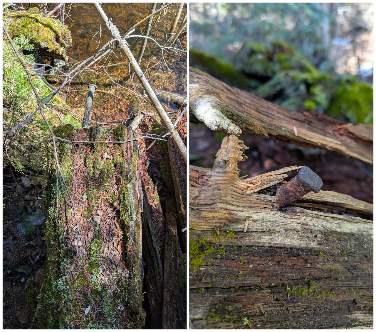
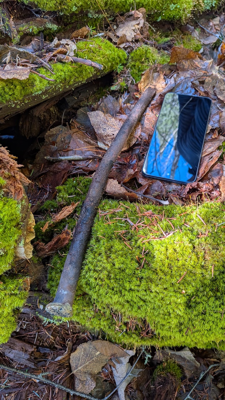
Today, in 2026, there is very little remaining that would provide an indication of how this was once an important and busy location along the river. But there are beams still visible under the water, and on the shore aging timbers embedded with the spikes that were used to hold the structures together. Below are some of the features we observed.
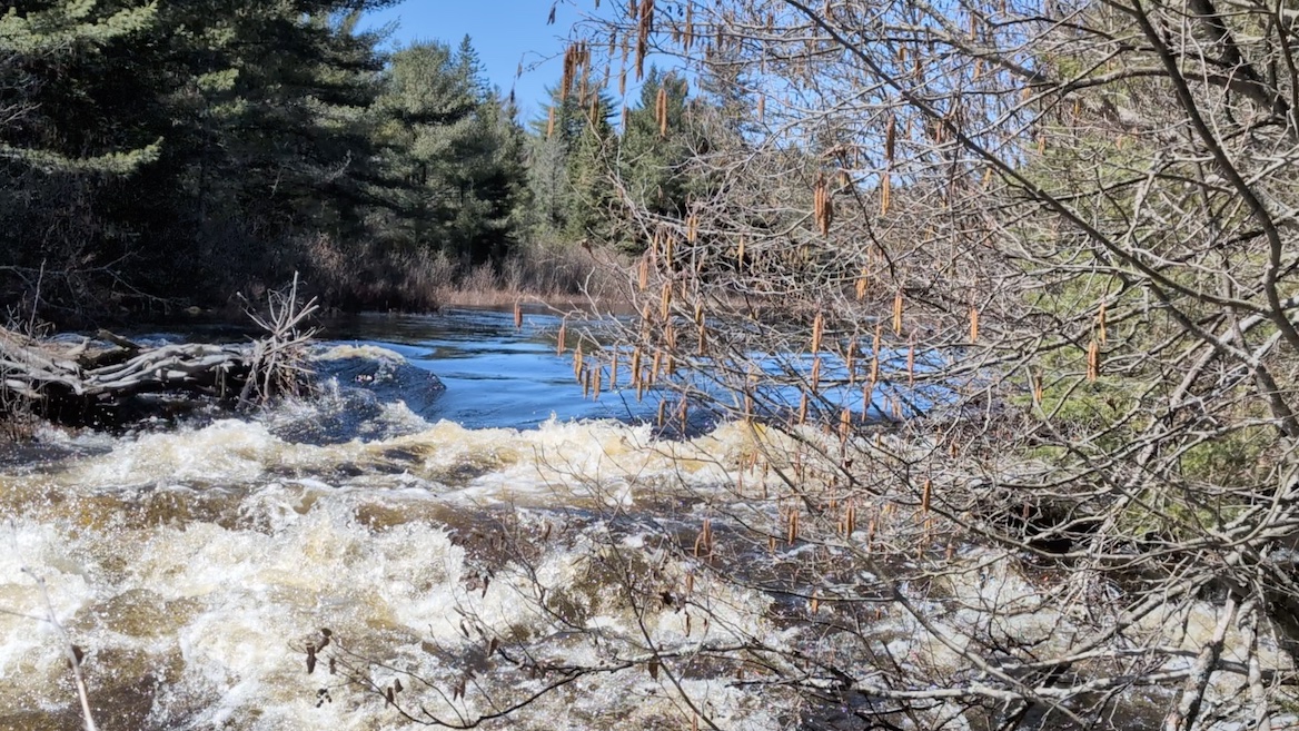
Before leaving we checked out the area above the dam. In this photo you can see how the logs would have been directed toward the opening in the dam once the drop logs had been lifted allowing the water to flow through.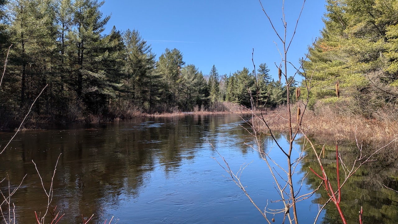 The river just above Milldam. MacKay notes that the dam, when it was holding water back, would flood up to McIntyre's marsh -- a distance of several miles. Looking at the river today it's difficult to picture that in 1851 John Egan reported “... cutting out 12 miles of the River of flood-wood, and clearing ten feet wide on each side of the banks to enable the men to drive the Timber” — MacKay, pg. 70.
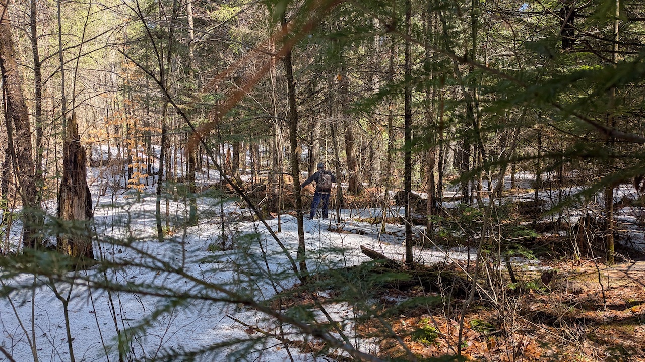 Following our footprints in the snow made for a quicker journey out than coming in.
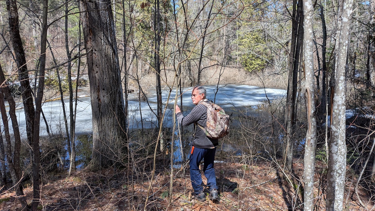
The ponds looked to be a day or two away from being ice free.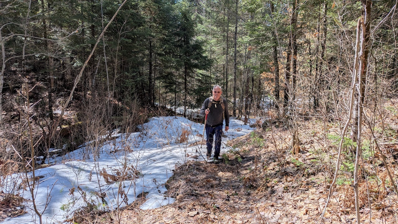 In the few hours that had passed since we had hiked in a considerable amount of snow had melted.
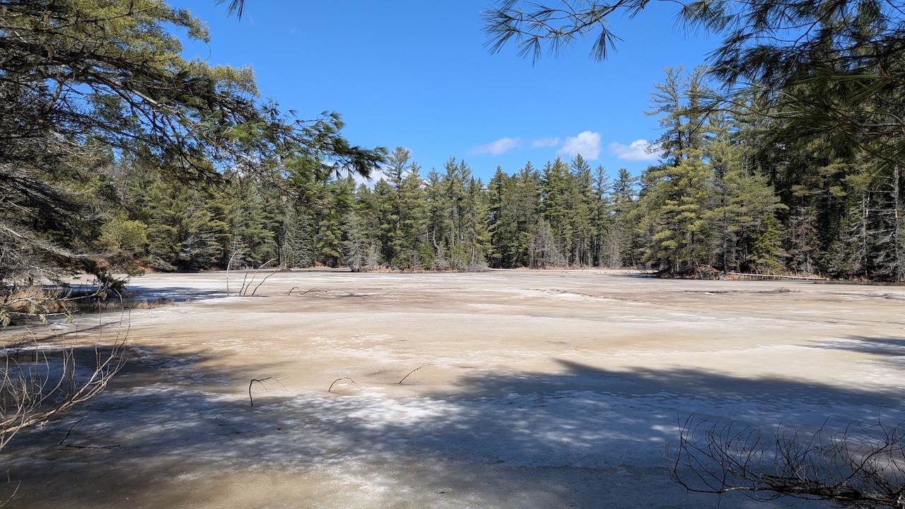
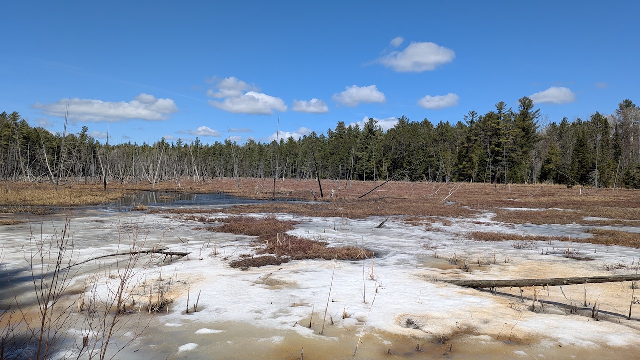 In the marshes, wherever there was a bit of open water, you could see ducks and geese.
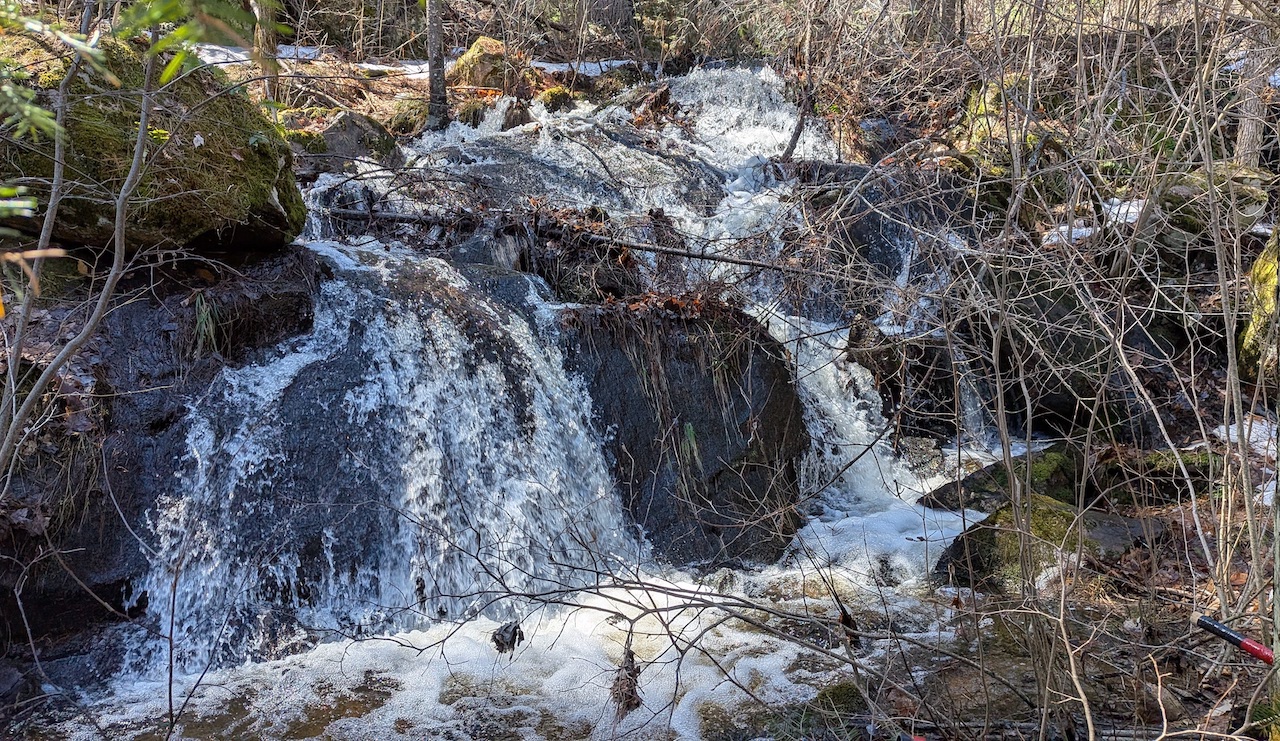 Water running on every hillside.
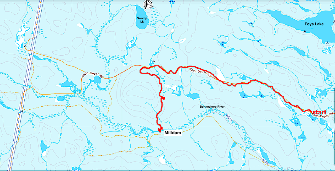 Our route. Distance: 14.8 km. Time: 5 hrs. 6 mins.
_____________________
Note: A second edition of Spirits of the Little Bonnechere by Roderick MacKay was published in 2016. Information at the following link.
Last edited by Trail (4/22/2026 10:28 am)
![]() Offline
Offline

Awesome trip report Trail! Love it!
![]() Offline
Offline
Great post, thank you! Pictures are great and the archive photos add some cool context.

 1 of 1