


![]() Offline
Offline
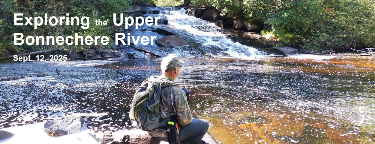
On a previous hike we had made our way along the upper reaches of the Bonnechere River, crossed over the river and bushwhacked to McKaskill Lake. For this hike our plan was to travel further up the river to its highest point above the lake, where it starts to flow to the east.
That meant we would be walking through one of the historical zones in the park -- H20 -- Bonnechere River Camboose Camp. 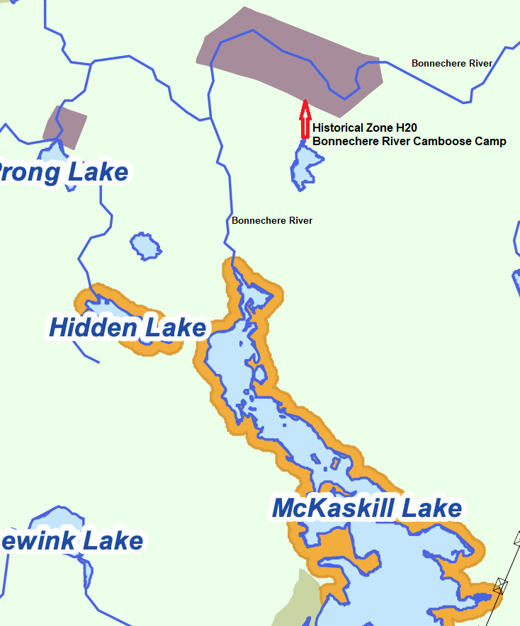
Algonquin Park Management Plan Amendment (2013)
Figure 3b Map
The park's Management Plan states that the historical zones are protected to preserve the cultural heritage of these sites, and managed in order to be preserved for future study.
Having been in touch with historian and archaeologist Rory MacKay after our hike to the Egan Depot Farm we contacted him again to seek any guidance he might be able to provide about the zone. He described for us the kinds of features to watch for which might indicate a camboose shanty. His most recent book, The Camboose Shanty: Winter Home to the Early Pine Loggers (2024), provides details about several archaeological studies of camboose sites he has worked on. 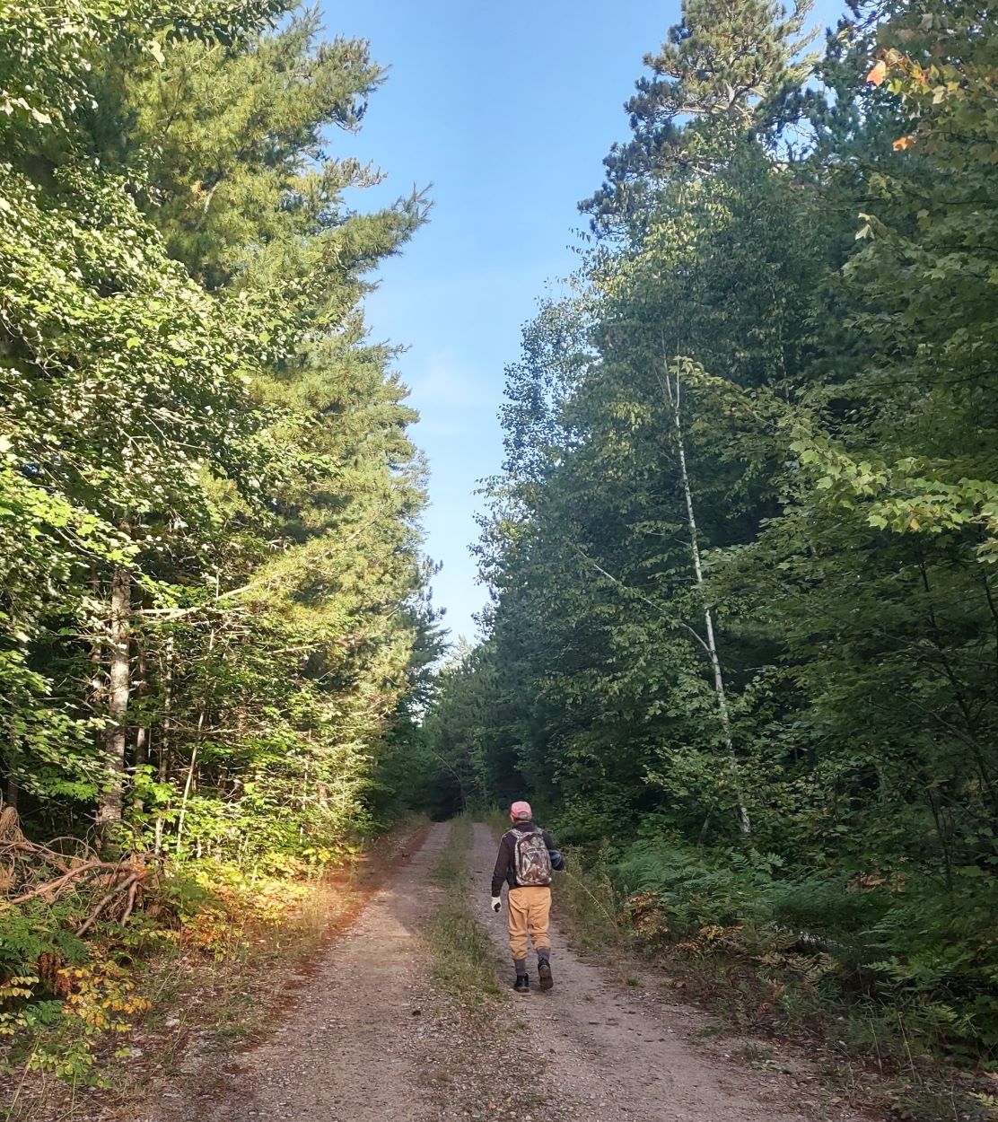 We started out before sunrise knowing we would have a full day of travel ahead of us. We planned to do a loop, travelling northwest some distance above the river to avoid steeper terrain, and then make our way south to the river and follow it back to our starting point.
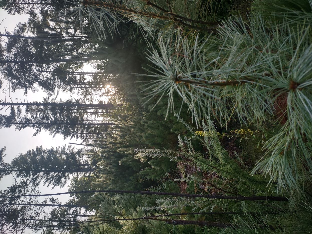
There had been a heavy dew overnight. We had a lengthy bushwhack to complete in making our way down to the river, so clothing got quite wet on that part of the journey.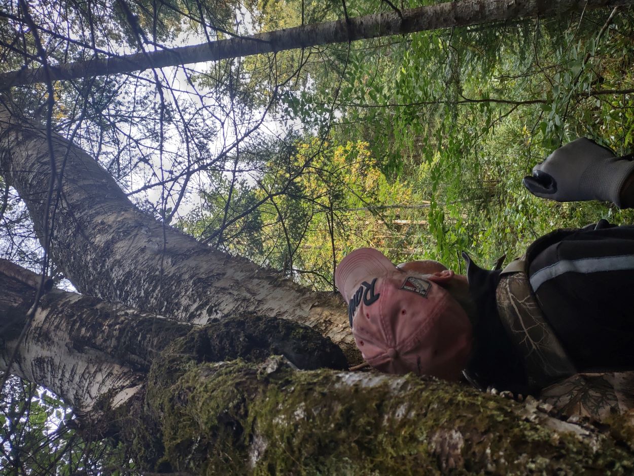
About a half kilometer from the river we passed through an area that had some of the largest birch, red and white pine, and cedar that we have ever seen in the park. Unfortunately, this picture does not capture the full size of the birch towering over me.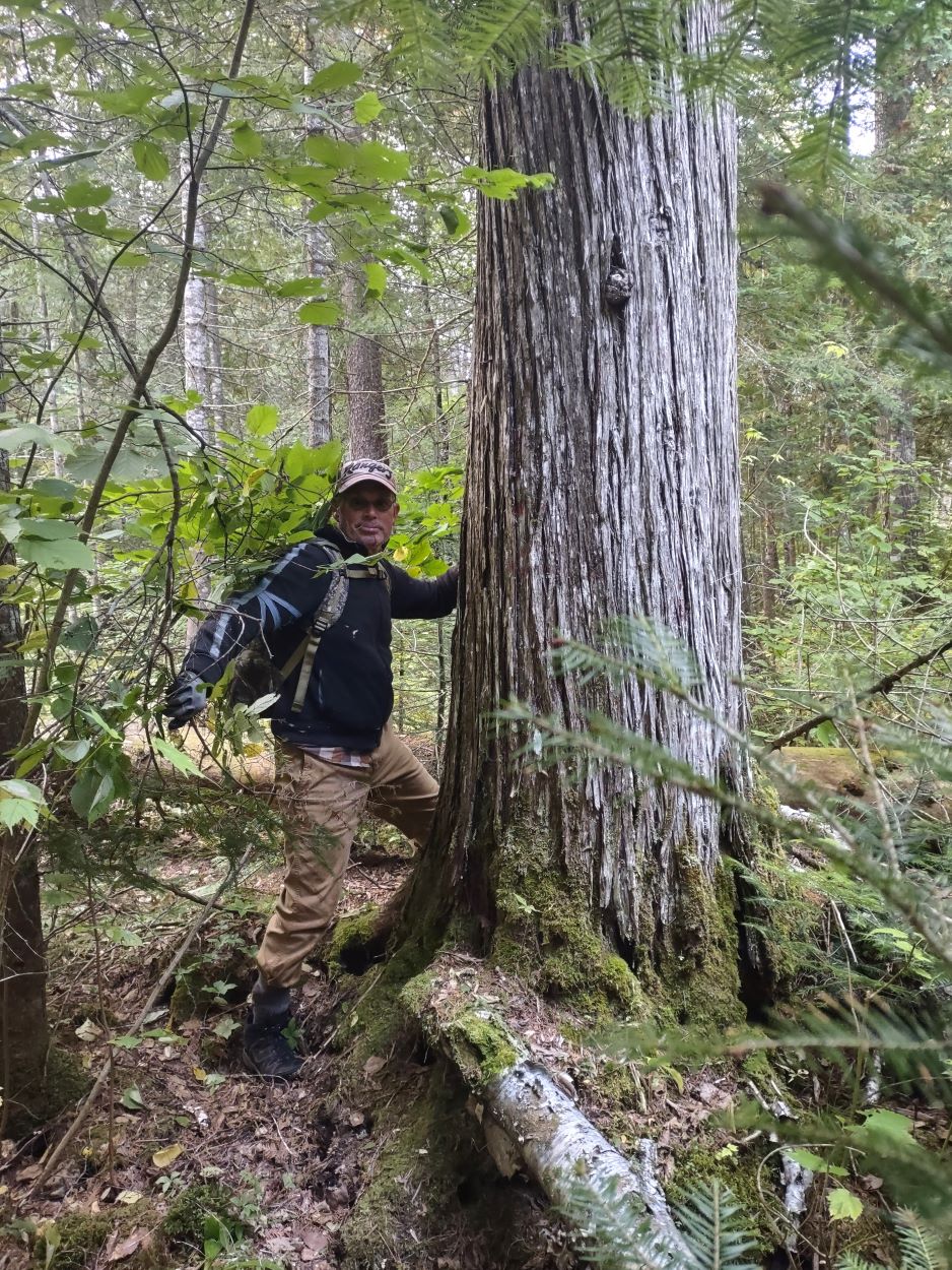
In this part of the country this is a large cedar.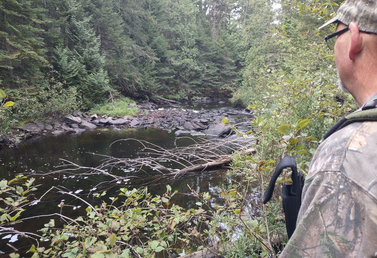 As we made our way along the river we came to this spot which stood out as looking different from the area around it. The grassy point and the way the rocks had spread out downriver left us wondering if these were signs of past human activity. We decided to spend some time searching for any clearer indications, and perhaps signs of a camboose shanty, in the bush away from the river.
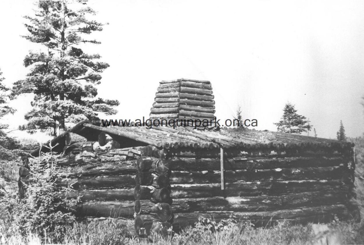 Camboose camp on the Nipissing River. Algonquin Park Archives and Collections, Catalog Number 1972.3.65. Source: Rose Thomas and Jack Wilkinson, 1947. Used with permission.
The notes provided with this photo indicate this building was used by the Gillies Brother's Lumber Company during their river drives in the 1930's and 1940's. It is of the modern makeshift variety, in that it had a pole roof that would have been covered with tarpaper, rather than the 19th century version which would have had a scooped log roof, and been chinked on the inside with moss.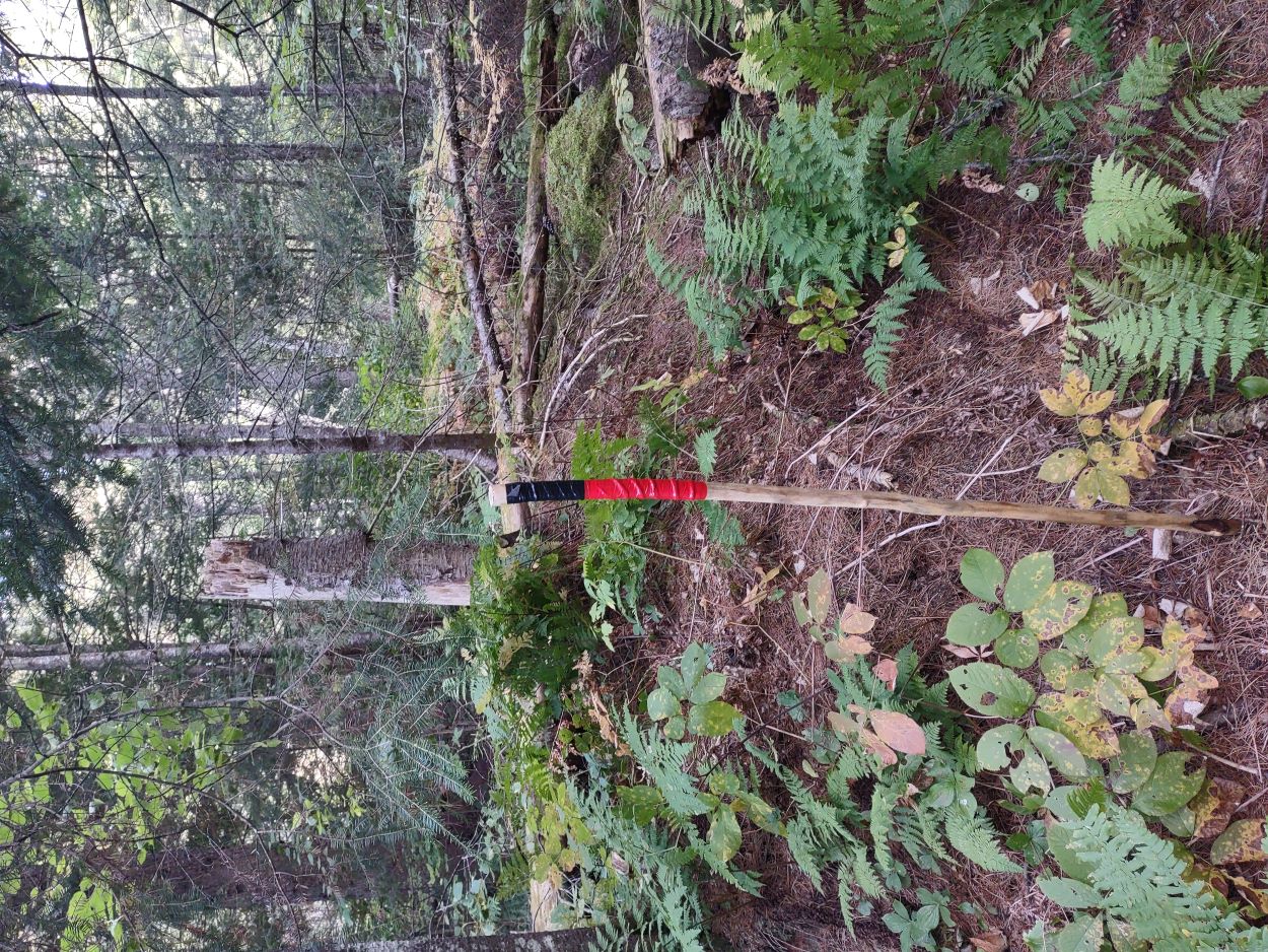
About 10m in from the riverbank we discovered this raised mound. From this corner, linear mounds run north and to a south corner. This kind of linear mound can be an indication of a camboose shanty site.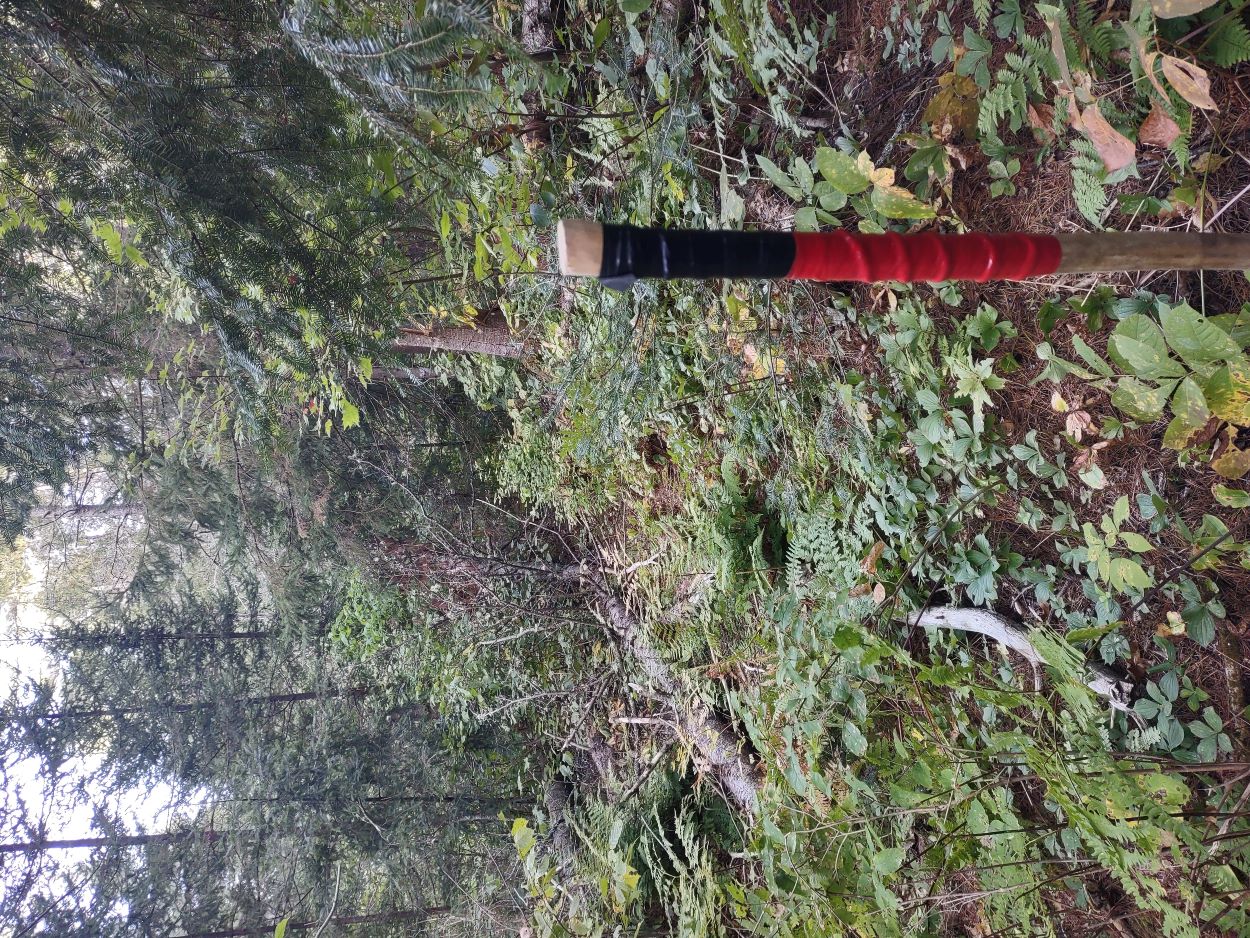
The mound running to the south corner. The site is very grown over, making it difficult to photograph; but the linear mounds are quite distinct when viewed on site.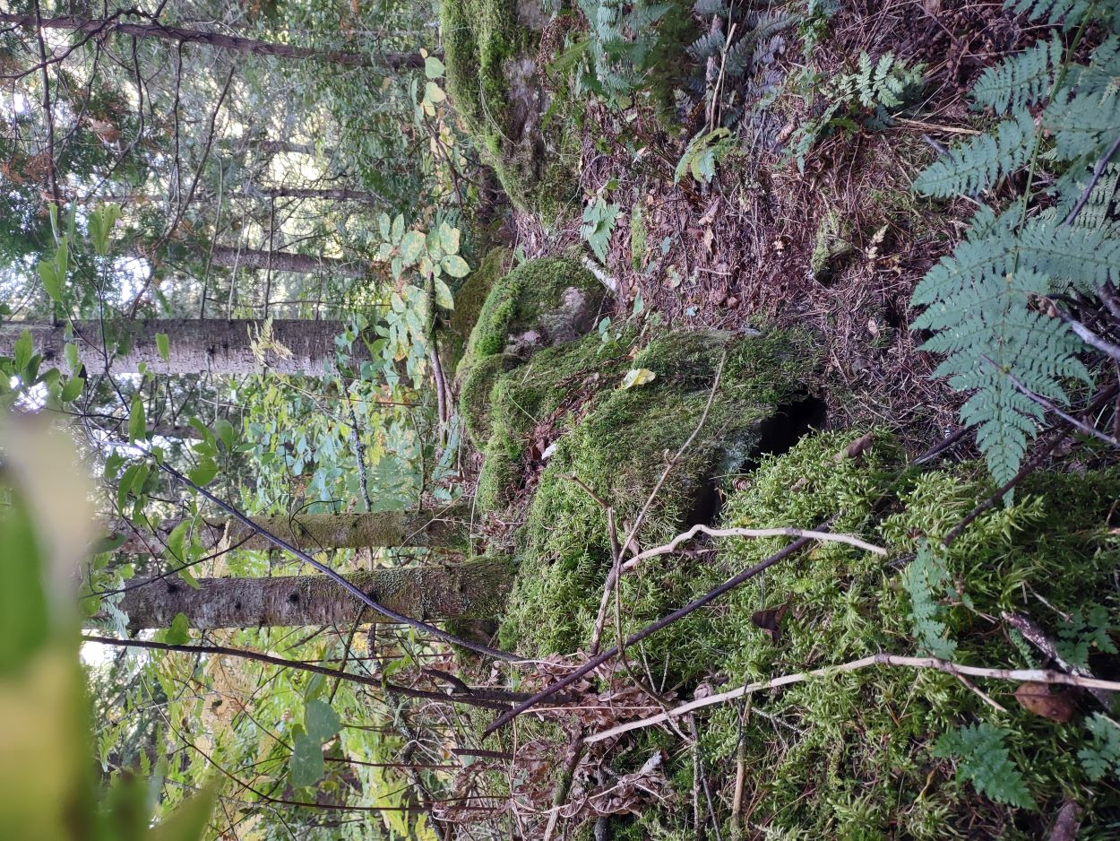
A rectangular set of earthen foundation mounds is identifiable on the site. On this northern side a trench appeared to have been dug along the mound. A mound trench, too, is a characteristic of a shanty.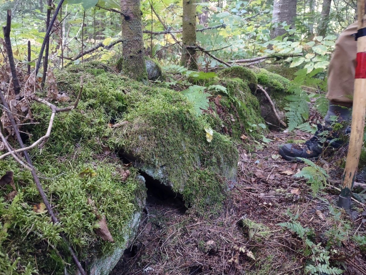
On the northern corner two rows of large rectangular rocks had been laid on top of each other. We wondered if this might have been done to level out the foundation in that corner.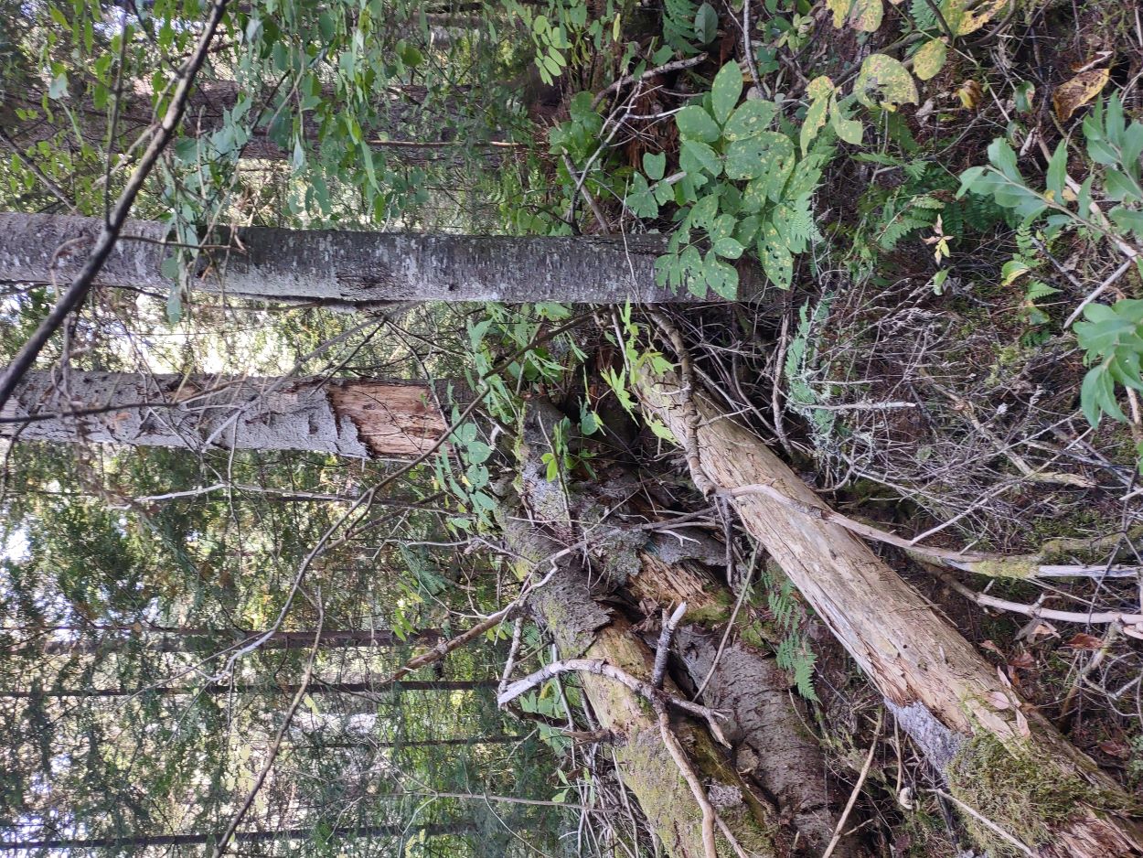
A camboose mound was a central, sand-filled fireplace structure within the shanty. We did see a single raised mound within the mounded perimeter of this site, but as can be seen in the photo there is so much vegetation and deadfall that nothing is identifiable. 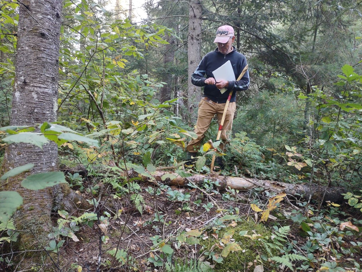
Knowing this site might be an important element within this protected historical zone we were careful not to disturb or alter the site. Is it the site of a camboose shanty? It would take onsite study by persons with expertise in this field of research to make a determination. We did compile notes and photos which hopefully might be of assistance if this was to be a site of future study.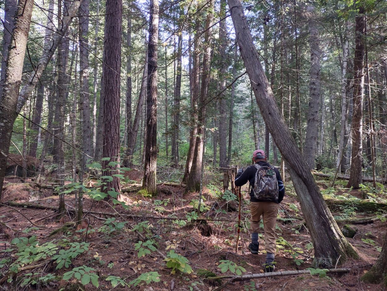
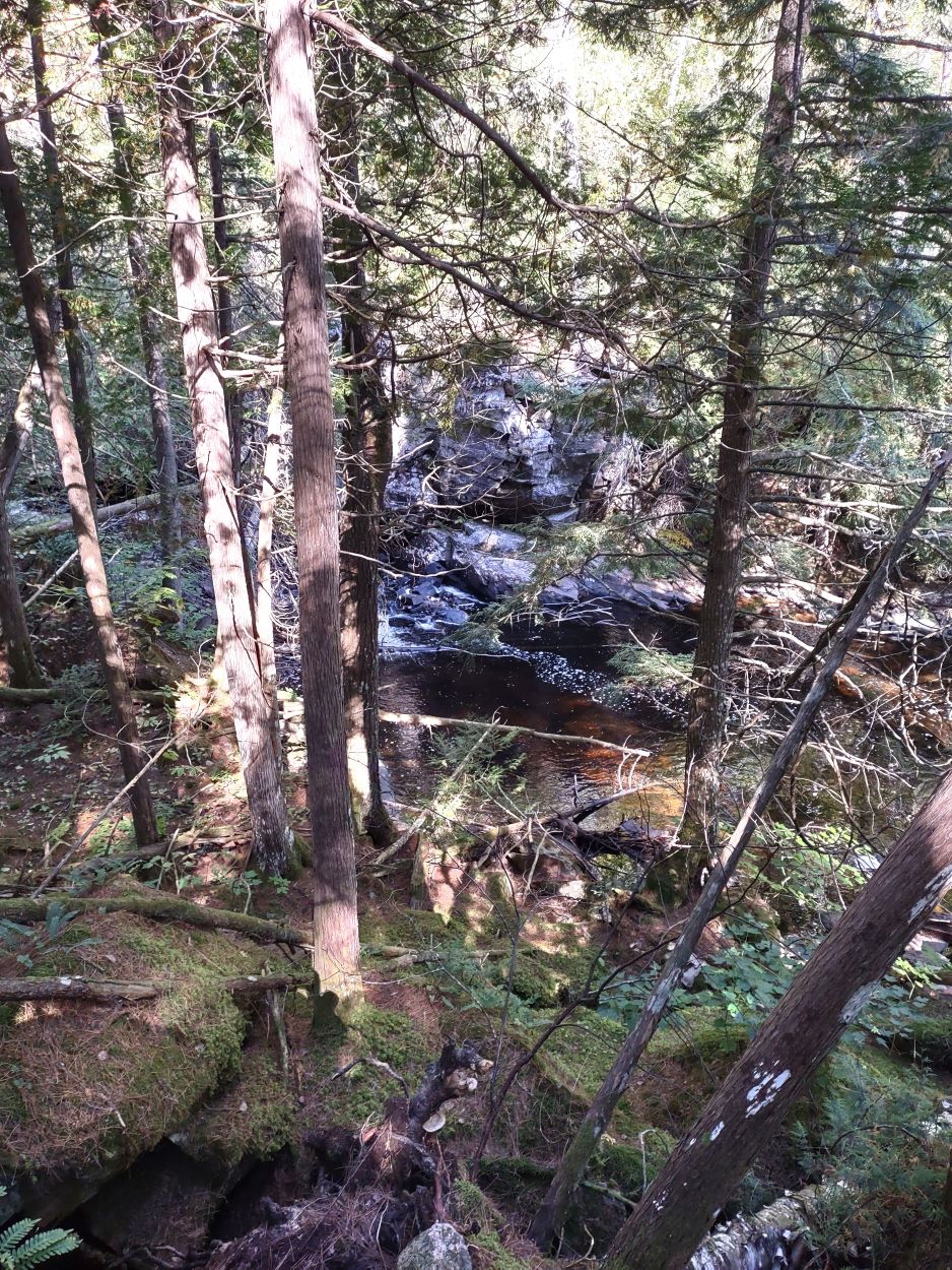
After leaving the site the vegetation along the river was so thick that it made walking very difficult, so we headed away from the river and climbed several short plateaus to a higher elevation where hiking was easier.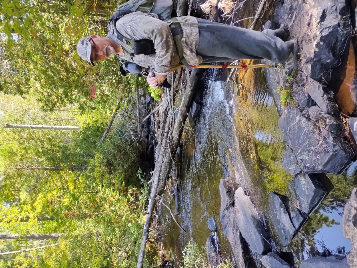
Coming back down toward the river (see route map at the end of the report), but still some distance away, we could hear the familiar sound of a waterfall. We came onto the river below the first of two falls along this stretch of the river. There is a rocky cliff along the north side of the river so we crossed over and made our way to the falls.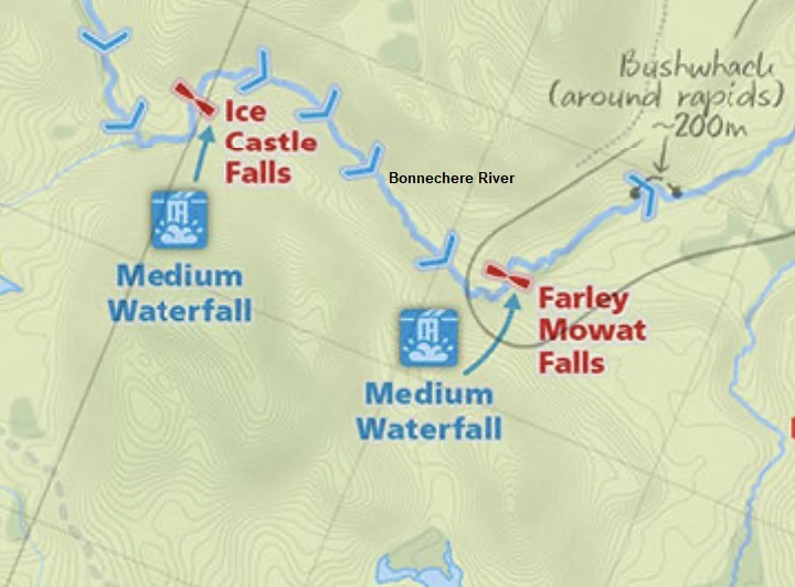
This image shows the two waterfalls as presented on Jeff's map. Map courtesy of Maps by Jeff. As noted on Jeff's map, this used to be part of a park-designated canoe route, but that is no longer the case.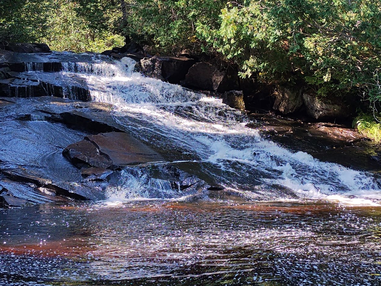
Ice Castle Falls - a short video of the falls.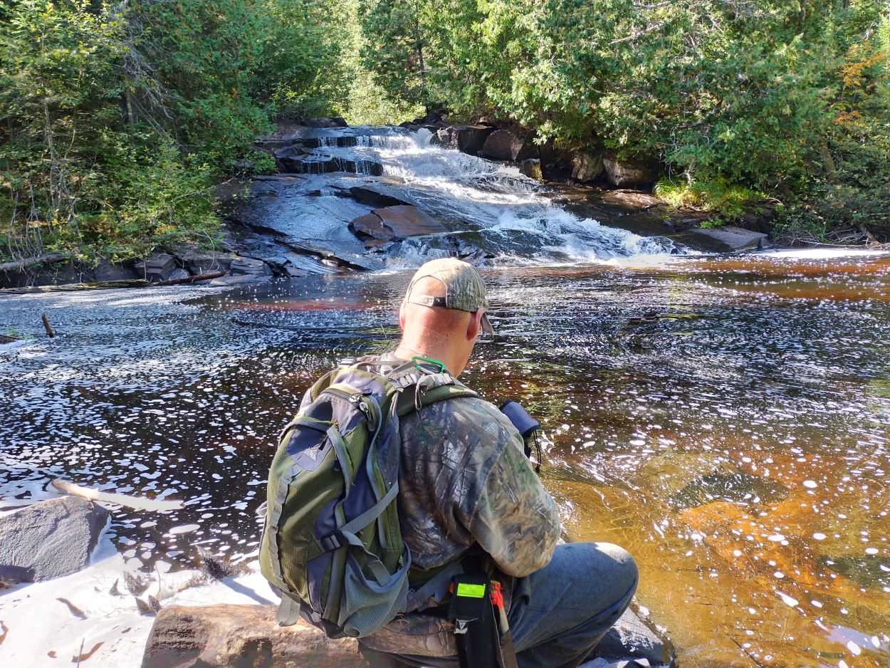
There is a canyon-like stretch below the falls. We had to stay on the south side of the river to work our way along. 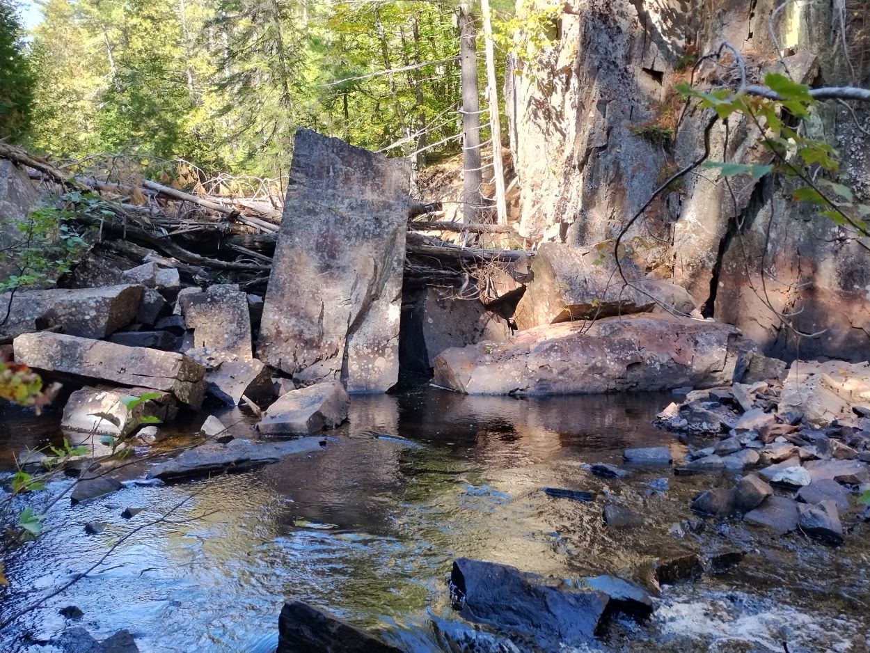
Huge, rectangular slabs of rock have broken off the cliff face creating a partial dam across the river.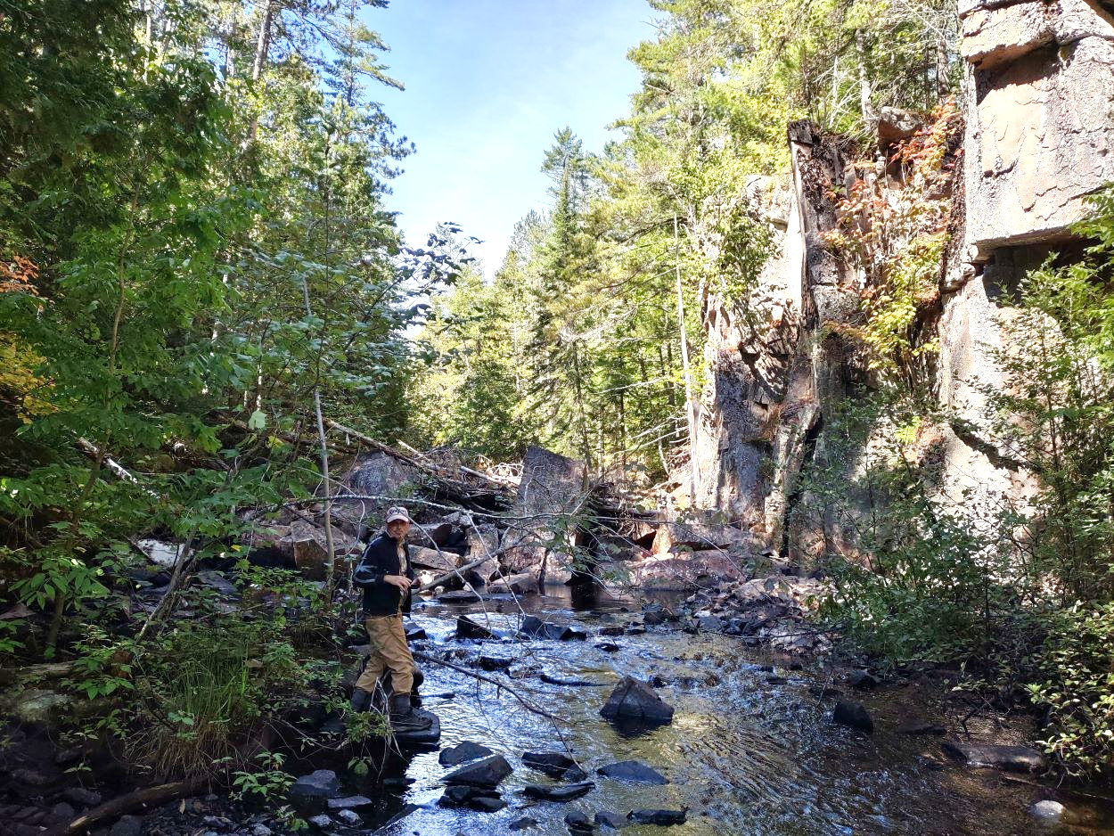
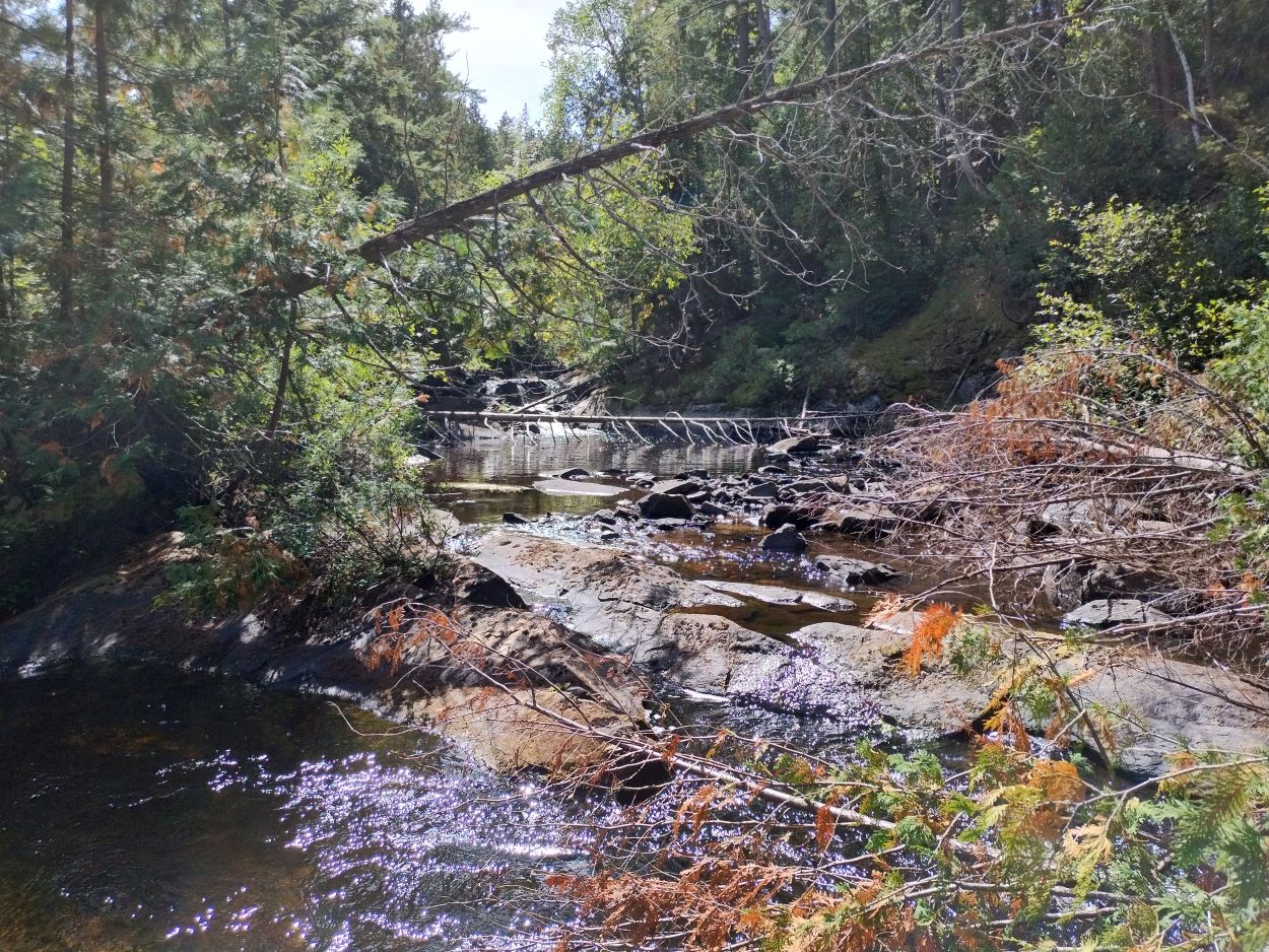
We travelled inland again, away from the river, as we made our way toward the lower falls. The sides of the river are less steep as you approach the lower falls but as you can see in the photo above travel by canoe along this part of the river would be a challenge even earlier in the season when the river would be running higher.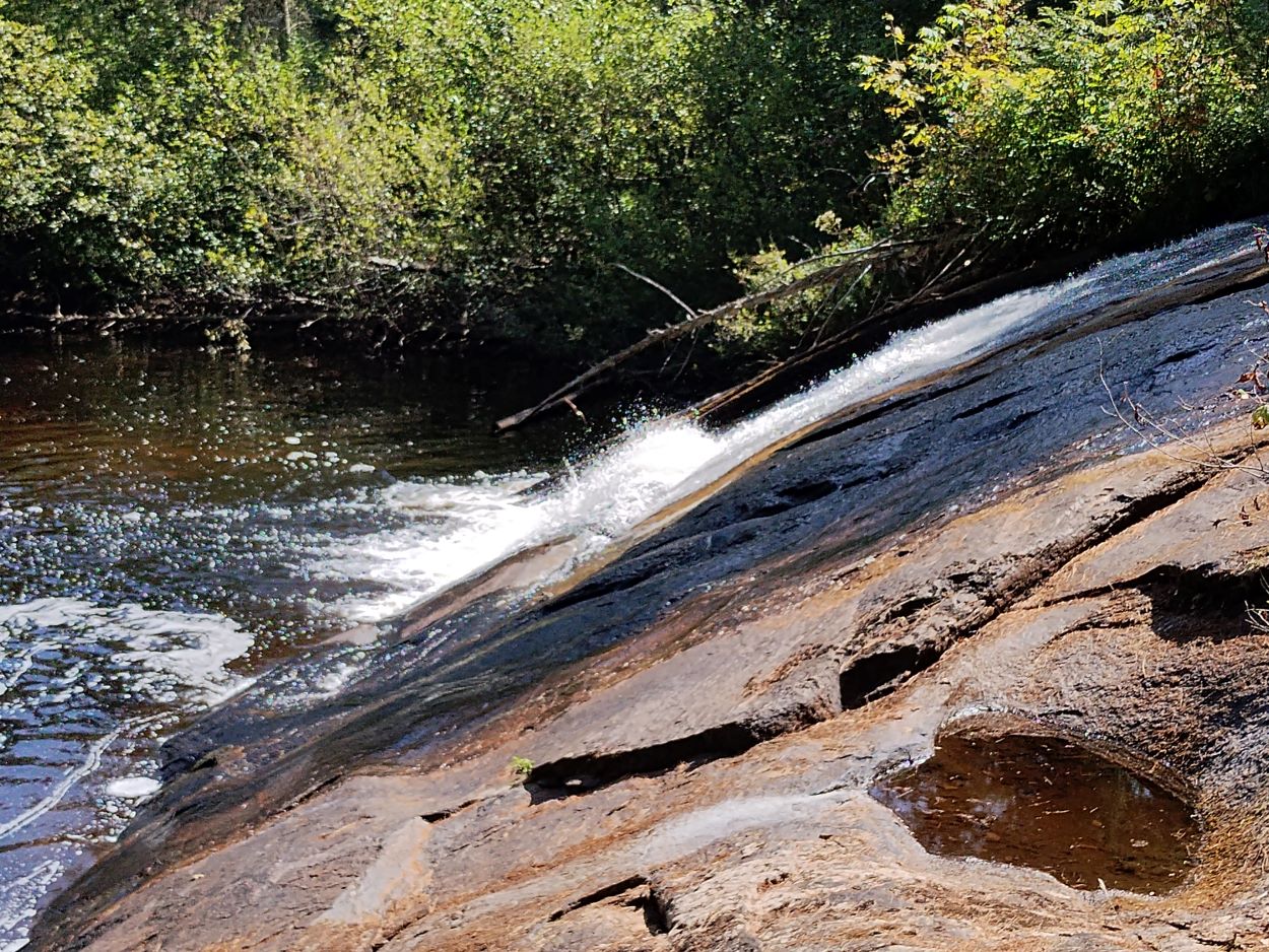
The lower falls -- this is a very different looking spot in spring when water is crashing over the full distance of these rocks. The following is a short piece of video taken in late April 2023. 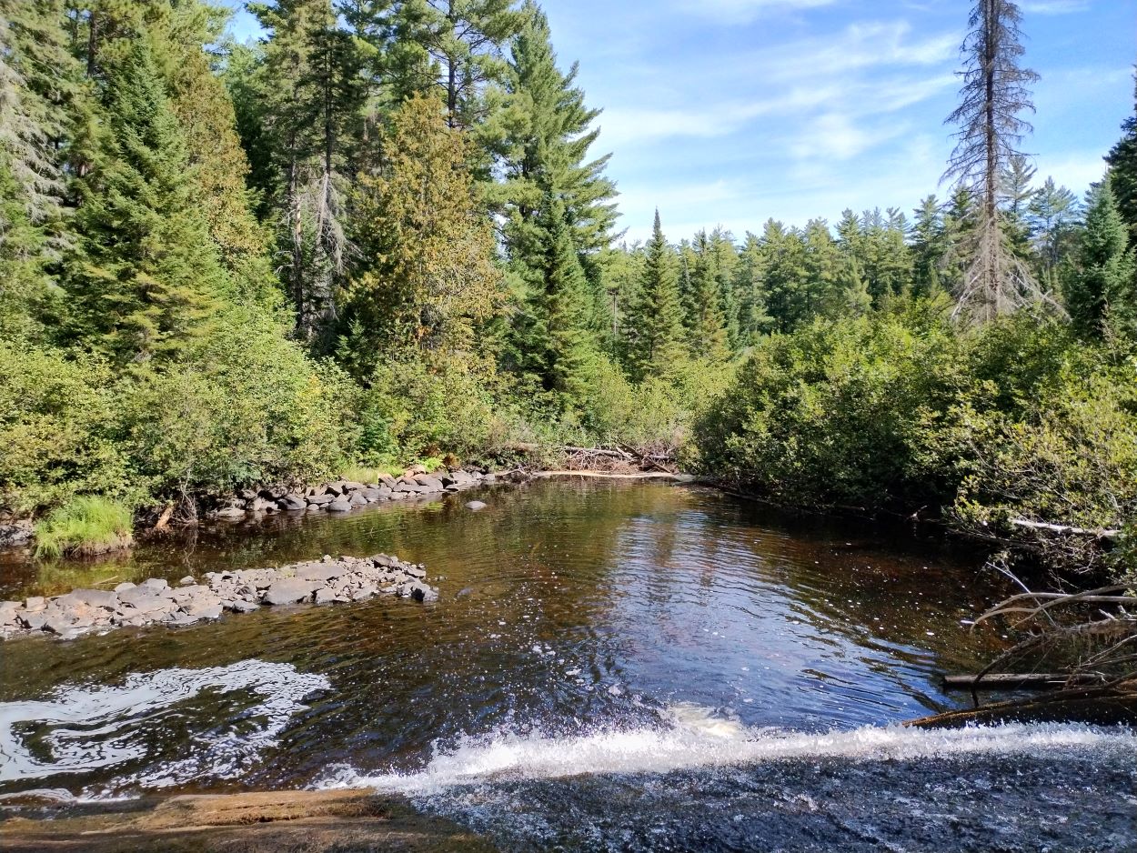
View from the top of the falls.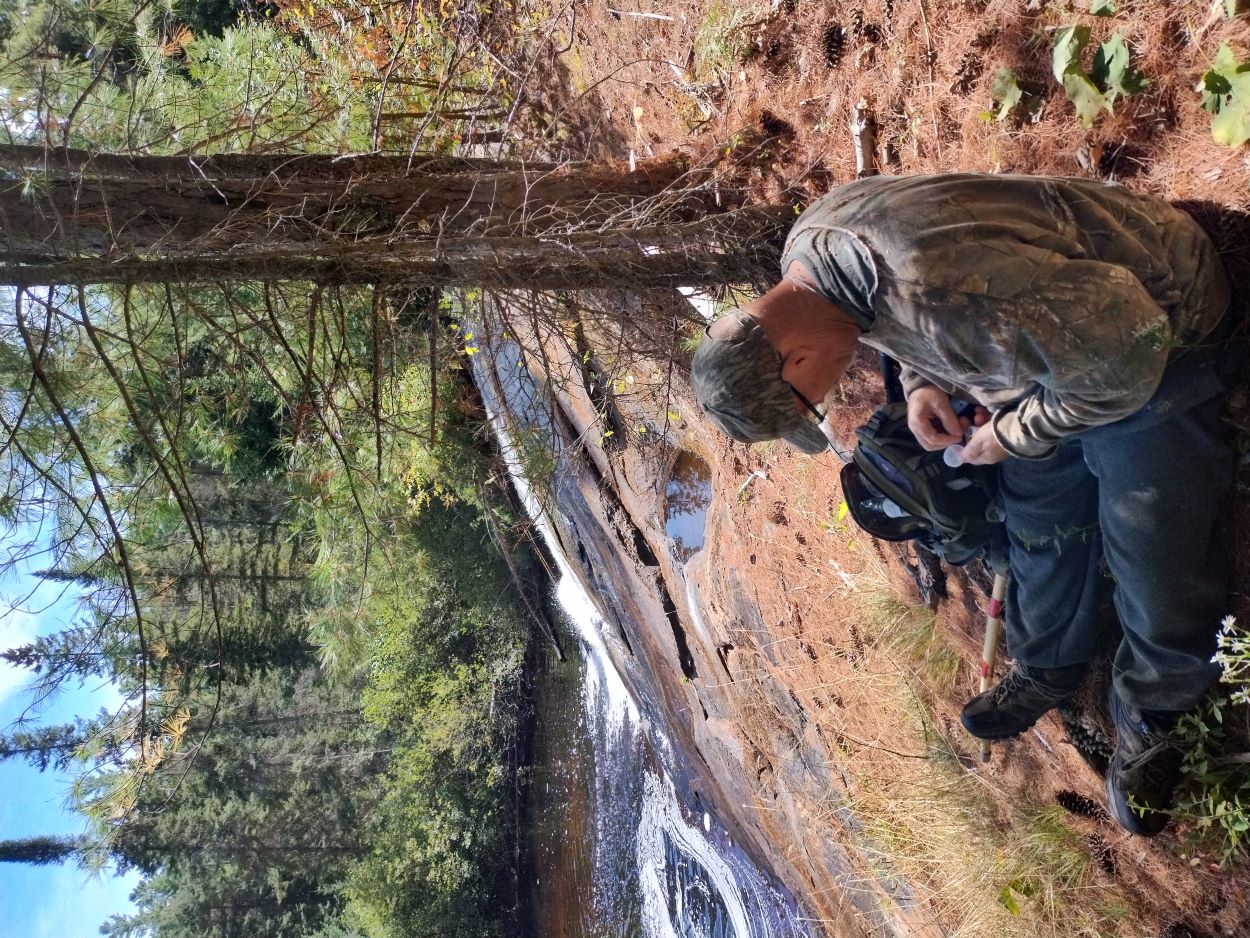
We stopped here for a late lunch, and got rested for the walk back to our starting point.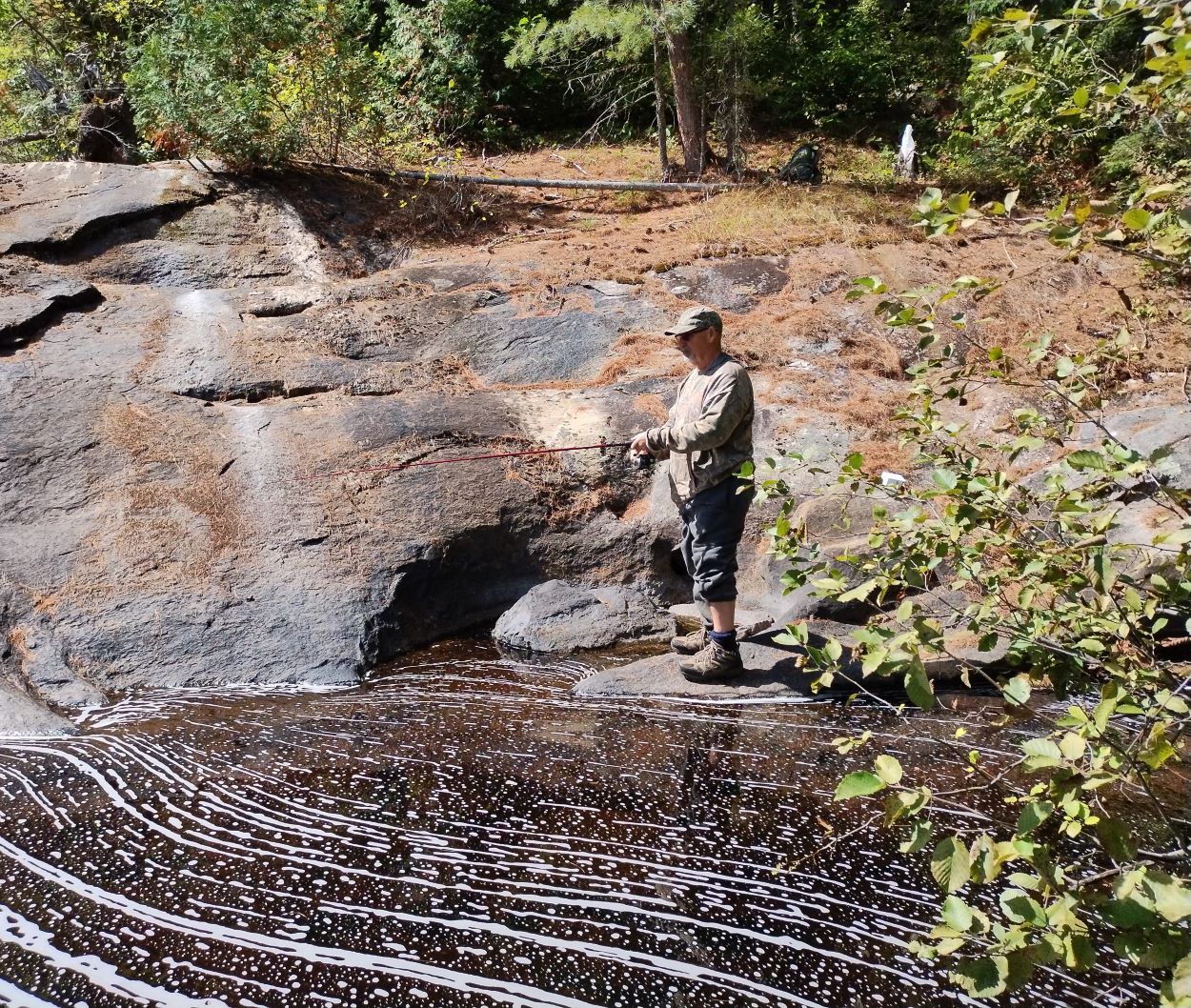
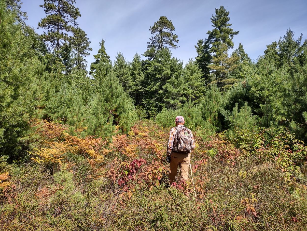
Heading home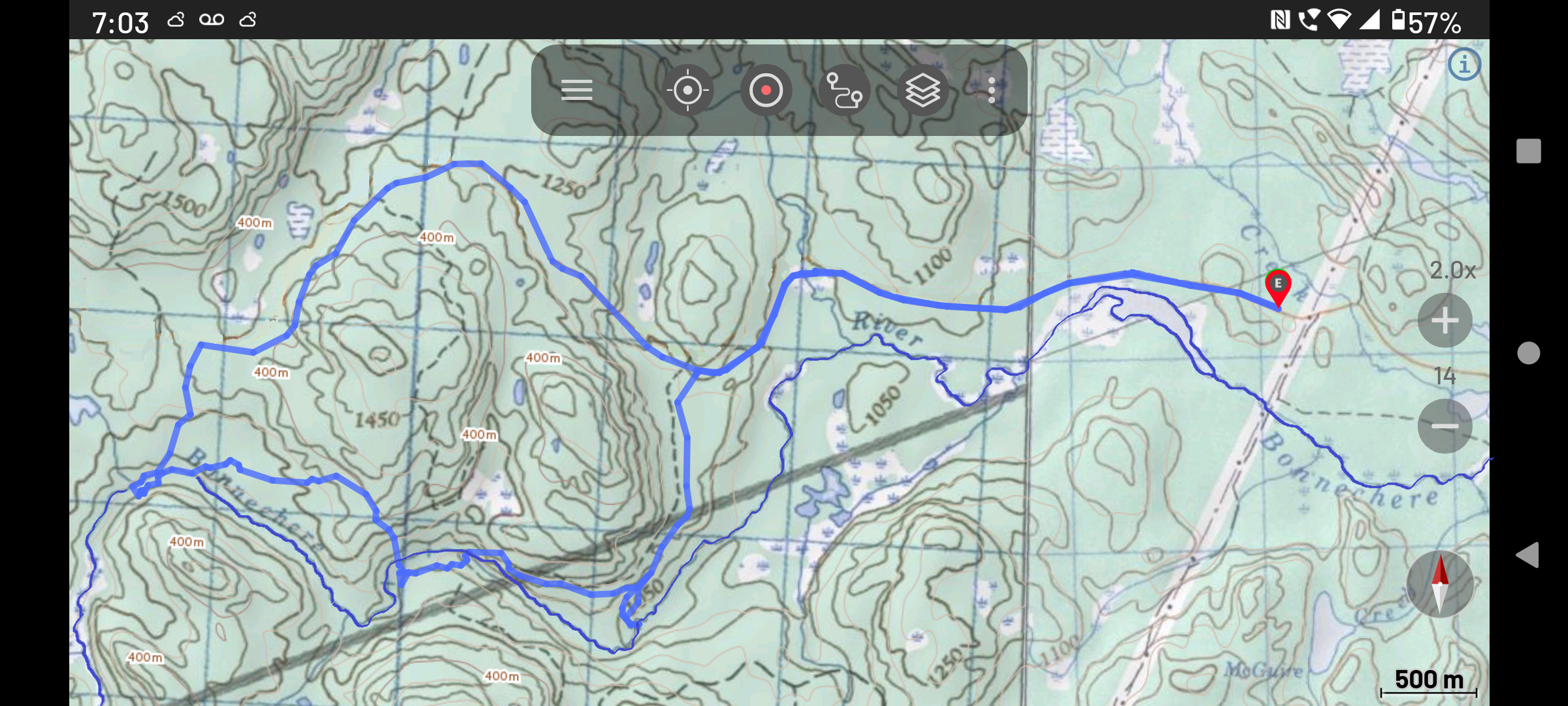
Our route 17.94 km Hiking time approx. 8.5 hrs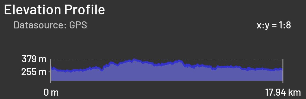
This and our other trip reports can be found at: Algonquin Park Day Hikers
![]() Offline
Offline

Excellent report!!
![]() Offline
Offline

It's funny I'm heading up to that area in October and was considering doing this exact hike to the two falls! Thanks for the awesome trip report (I'm loving these!). May I ask what you are using for navigation? What app is that screenshot from?
Thanks again!
![]() Offline
Offline
Hi Steve - the app used is Canada Topo Maps Pro.
Jim
![]() Offline
Offline
Thanks Jim much appreciated!

 1 of 1