![]() Offline
Offline
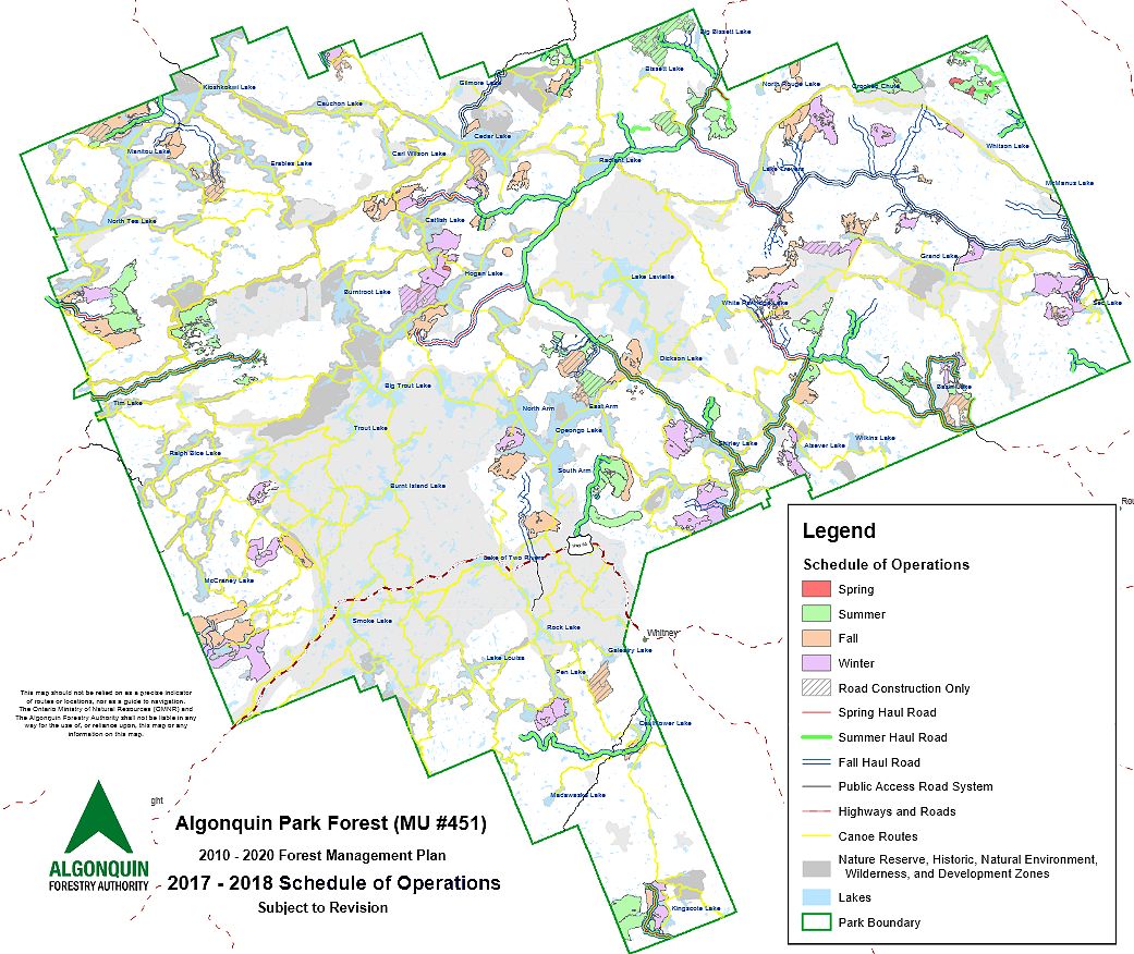
I was studying the schedule of operations map a bit this evening, and noticed that a lot of the selected locations border water - in fact a lot of them do. In some cases, right where there are campsites. Is that just done for the convenience of producing a map? I have a hard time imagining that there would be logging at the water's edge, even selectively, or particularly close to campsites. I've never heard chainsaws, etc., going while I was in the park....although I thought I did one morning...turned out to be a million mosquitoes outside the tent drooling while awaiting their breakfast....
![]() Offline
Offline
They don't log campsites or lakeshores, though sometimes logging operations are audible from there. I imagine the map shows the boundaries of the areas selected for logging but within those areas there are riparian reserves and such... they're not clear-cut blocks, at least not to those exact boundaries.
![]() Offline
Offline

Thanks Barry,


 1 of 1